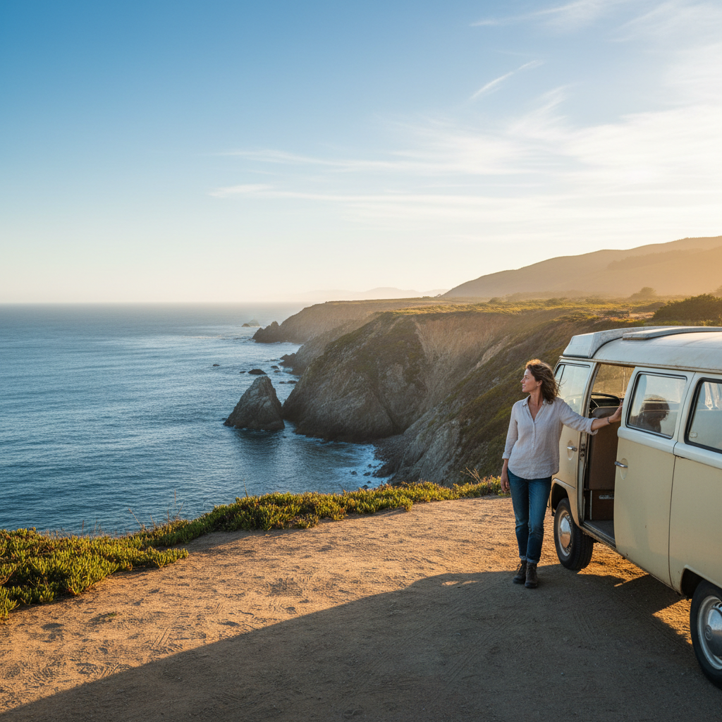


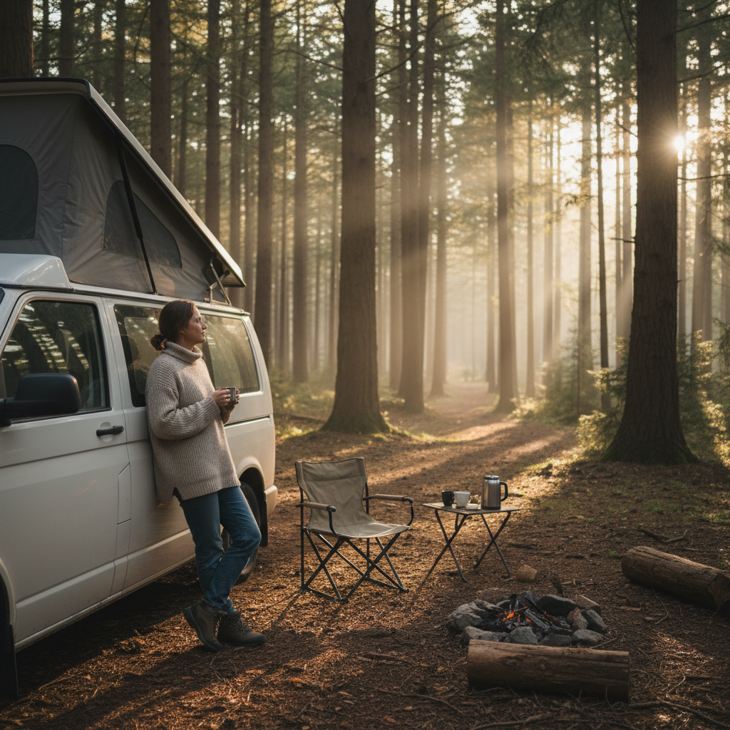


Van travelers will tell you to check road width and elevation clearance before they discuss anything else, and there's a reason for that. The best short scenic drives for a weekend van trip out West aren't simply the prettiest corridors on a map. They're the ones that match your rig's wheelbase, your fuel tank's honest range, and the season you're actually driving in.
The routes that dominate most lists were scouted for passenger cars. Plenty of them involve tight switchbacks, low-clearance tunnels, or unpaved shoulders that turn a high-roof cargo van into a liability rather than a home. That mismatch between "scenic" and "van-appropriate" is the gap this guide fills.
Three variables decide whether a drive rewards you or punishes you: road geometry (lane width, grade, turn radius), overnight pull-out availability, and diesel or mid-grade fuel access within a reasonable stretch. None of those factors shows up in a standard travel magazine spread, and ignoring any one of them can flip a beautiful 90-mile loop into a white-knuckle dead end. That's the tension worth sitting with before you choose a route.
What Makes a Drive Actually Van-Compatible
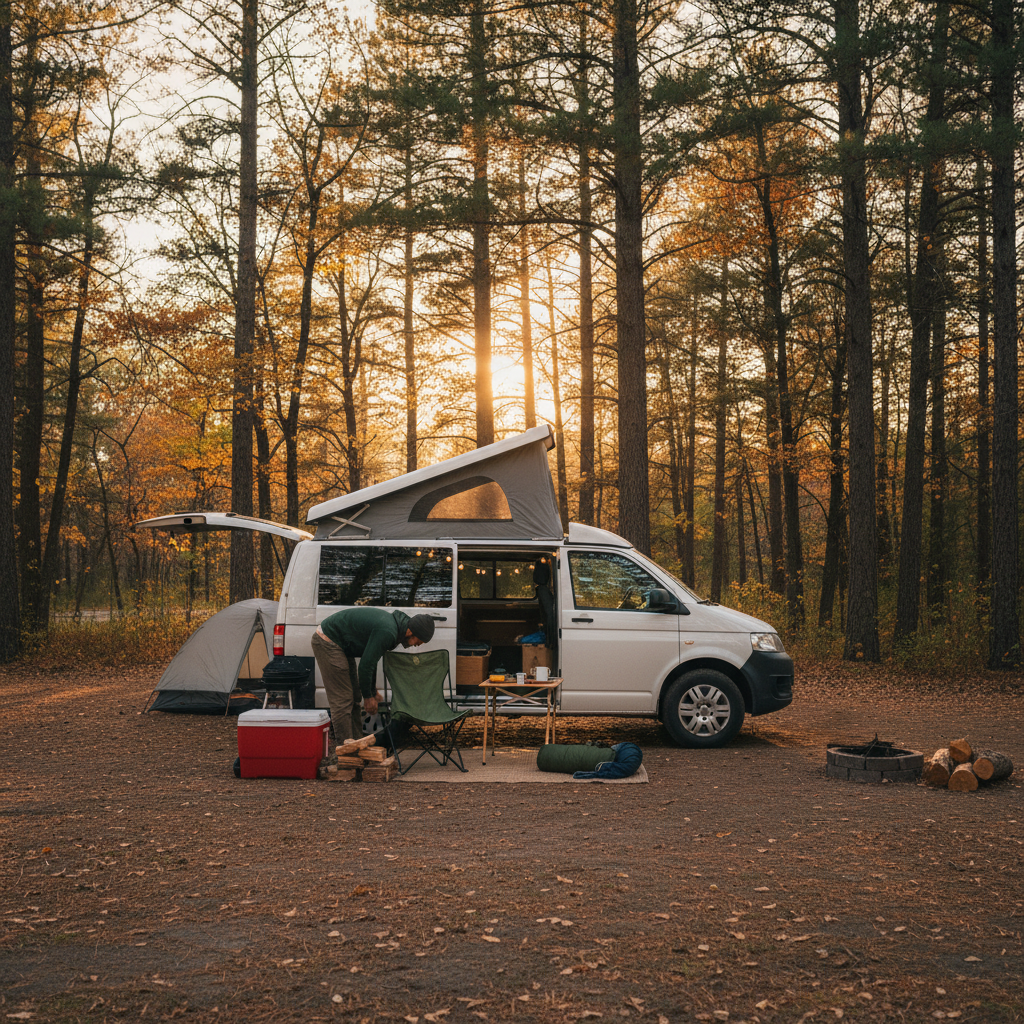
A scenic drive earns the label "van-compatible" when it clears three practical bars. First, lane widths should run at least 11 feet on the primary corridor; anything narrower on a winding two-lane forces constant mirror-checking that kills the view. Second, the route needs legal overnight stops, whether that's Bureau of Land Management dispersed camping, a state park with pull-through sites, or a rest area without a 4-hour posted limit. Third, fuel should appear at least every 80 miles, because the scenic stretches out West frequently sit between towns of fewer than 300 people.
Or rather: it's not just about fuel distance in miles. It's about fuel distance relative to your tank minus your reserve threshold. A 40-gallon tank with a 10-gallon reserve gives you roughly 280 miles at 9 mpg, but headwinds over a high desert plateau can drop that to 220 miles. Know your van's real-world highway figure before you commit to a remote corridor.
This guide covers driving loops and corridors between 60 and 150 miles. It is not a resource for overlanding, technical four-wheel-drive trails, or multi-week van life itineraries. If your rig sits above 11 feet tall or exceeds 25 feet in length, treat every tunnel and bridge clearance note here as a starting point, not a guarantee, and verify with the relevant state DOT or National Park Service road conditions page before you leave.
Five Routes Worth the Drive
The drives below are organized by the decision variable that matters most for each one, not alphabetically or by state. That framing changes how you read them.
1. Highway 89A through Oak Creek Canyon, Arizona (28 miles, Sedona to Flagstaff). This is the most van-accessible canyon drive in the Southwest. The road is a paved two-lane maintained by ADOT with consistent 11-foot lanes, and the switchback section near the top is manageable for wheelbase lengths up to about 22 feet. Pull-outs are frequent. Dispersed camping isn't available here, but Coconino National Forest sites along the corridor fill that gap. The vertical drop from Flagstaff's 6,900-foot elevation to Sedona's 4,300 feet takes about 40 minutes northbound. Do it southbound on a clear morning for light that hits the red rock walls at a near-horizontal angle.
2. Highway 120, Tioga Road, Yosemite National Park, California (39 miles within the park). Tioga Road is closed from roughly November through late May, sometimes into June depending on snowpack. Check the NPS road conditions page (nps.gov/yose) before any trip from October onward. The road opens to vehicles under 25 feet, and the NPS enforces length restrictions at the Big Oak Flat entrance. At 9,945 feet at Tioga Pass, altitude genuinely affects fuel combustion in carbureted or older diesel engines. Tuolumne Meadows offers one of the few high-Sierra flat pull-outs long enough for a full-size van with a bike rack.
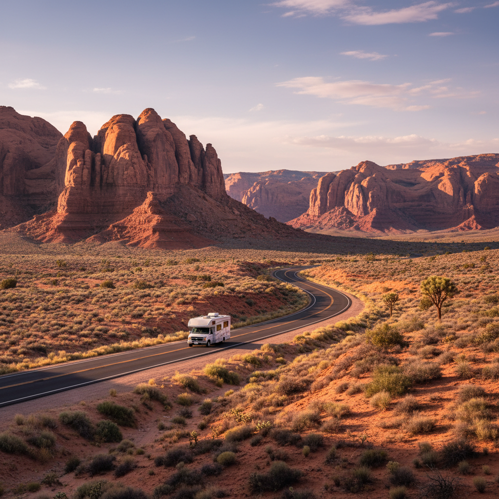
3. Highway 12, Utah (122 miles, Panguitch to Torrey). Utah's Scenic Byway 12 consistently ranks among the most dramatic paved roads in North America, and it earns that ranking. But the Hogsback section near Escalante is a narrow ridgeline passage with significant drop-offs on both sides and no guardrails for a short stretch. Vans wider than 7.5 feet should approach it deliberately at low speed, and drivers uncomfortable with exposed ridge driving should consider skipping that 5-mile segment by looping through Henrieville. BLM dispersed camping east of Escalante gives you legal overnight options without reservations from spring through fall.
4. The Columbia River Highway, Oregon (Historic US 30, about 70 miles, Troutdale to The Dalles). This is the right choice if you want waterfalls without the elevation exposure of the Utah or California options. Crown Point and the Vista House sit at a manageable grade. The tunnels near Latourell Falls have an 11-foot 8-inch clearance posted; if your van is high-roof and you've added a roof rack, measure before you commit. The Historic Columbia River Highway State Trail parallels the road for stretches, which means overnight parking logistics are tighter than on more remote routes. Use the Columbia Gorge Express if you're staging from Portland and want to skip driving the western segment entirely.
5. Going-to-the-Sun Road, Glacier National Park, Montana (50 miles). This one comes with the most conditions attached. The NPS enforces a vehicle size restriction: no vehicles over 21 feet in length or 8 feet in width between Avalanche Creek and the Sun Point parking area (verify current restrictions at nps.gov/glac, as they are reviewed annually). That excludes most full-size cargo vans with exterior attachments. If your van clears those limits, the drive between Logan Pass and St. Mary is among the finest 20 miles of pavement in the country. If it doesn't, Highway 2 along the southern park boundary is an honest, underrated alternative with no size restrictions and legitimate mountain scenery.
When to Go and What Changes by Season
Season is the most under-weighted variable for van travelers planning western routes, partly because articles about these drives are written without a rig in mind.
The Arizona and Oregon routes (Oak Creek Canyon, Columbia River Highway) run year-round with minimal closures. Oak Creek sees ice on the switchbacks occasionally from December through February; ADOT posts alerts at az511.gov. The Columbia Gorge gets freezing rain events in January and February that the NPS and ODOT track on their respective alert systems.
Utah's Highway 12 is best from April through October. At 9,600 feet near Boulder Mountain, the road can carry snow through May and see early-season closures. The BLM Grand Staircase-Escalante National Monument office in Kanab (435-644-1200) can confirm current conditions and whether dispersed camping zones have seasonal fire restrictions in effect.
Tioga Road and Going-to-the-Sun Road are summer-only corridors in practice. Tioga typically opens between late May and mid-June; the Sun Road opens between mid-June and early July. Both close by early to mid-November. If you arrive a week before official opening, you're not getting through. The rangers are not flexible on this, and the tow-out fees from a snowpack event are not small.
What you'll notice when comparing these routes is that the ones with the tightest seasonal windows also carry the least crowd pressure once you're past the first two weeks of opening. Tioga Road in the third week of June, before summer break traffic spikes, is a different experience from the same road in August.
The Case Against Choosing Solely by Scenery Rating
The standard advice for picking a scenic drive is to find the road with the highest photo count on social media, then go there. For van travelers, that advice is wrong.
Viral routes get their traffic from photographers in Priuses and sedans who can pull to the edge of a two-foot shoulder without consequence. A high-roof Sprinter or a converted Transit with an elevated roofline changes the physics of that same maneuver. The most visually dramatic roads in the West, particularly in southern Utah and the Eastern Sierra, have a higher-than-average concentration of single-lane sections, blind corners, and cliff-edge shoulders. Beautiful, yes. Van-friendly, conditionally at best.
The better framing: start with road geometry and overnight feasibility, then filter by scenery. That inversion produces a shorter list, but every route on it will actually work for your weekend. Prioritize routes with known pull-through availability by checking Freecampsites.net or the BLM's online map tool before you load the gear. A drive that ends in an unplanned scramble for a legal overnight spot at 9 PM is a failed trip regardless of how good the canyon walls looked at noon.
The most common mistake van travelers make on their first western trip is assuming that any paved road open to "all vehicles" is open to their vehicle. "All vehicles" in most NPS and state park contexts means passenger cars and light trucks. It does not mean high-roof vans with roof racks, extended cargo vans above 22 feet, or any rig with an exterior propane tank mounted at frame height. Read the posted restrictions. Call the ranger station if the sign language is ambiguous.
Making the Choice for Your Specific Weekend
If you want low-pressure routing with good overnight options and year-round access, Oak Creek Canyon plus an overnight in Coconino National Forest is the most reliable 48-hour configuration in this list.
If you want high-altitude drama and your van fits the NPS parameters, Tioga Road in late June gives you snowpack remnants, empty meadows, and the kind of quiet that makes you question why you waited this long.
For the drive with the most visual payoff per mile driven (and the most honest scenery-to-logistics ratio), Highway 12 in Utah edges everything else on this list. The Hogsback notwithstanding, it's worth the planning.
I'd start the research process with a single check: pull your van's exterior dimensions (height with roof rack, width with mirrors, length bumper to bumper) and compare against the NPS or state DOT restriction for any route that interests you. That check takes five minutes. Skipping it and discovering a restriction at the entrance station costs you half a day and the fuel to find a detour.
Check route-specific road conditions 48 hours before departure: ADOT (az511.gov) for Arizona, Caltrans (quickmap.dot.ca.gov) for California, UDOT (udottraffic.utah.gov) for Utah, ODOT (tripcheck.com) for Oregon, and MDT (mdt.mt.gov/travinfo) for Montana. None of those sites requires an account. There's no good reason to skip them.