
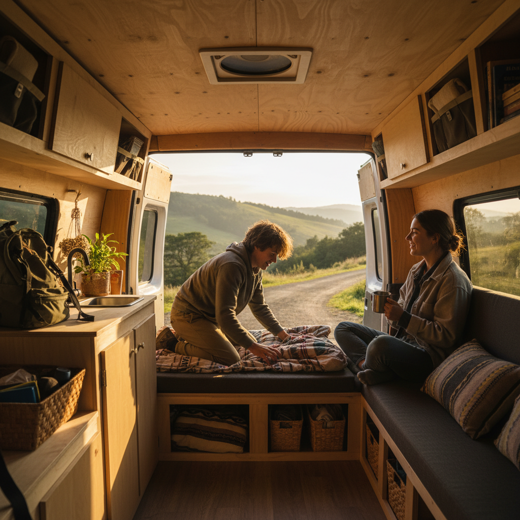

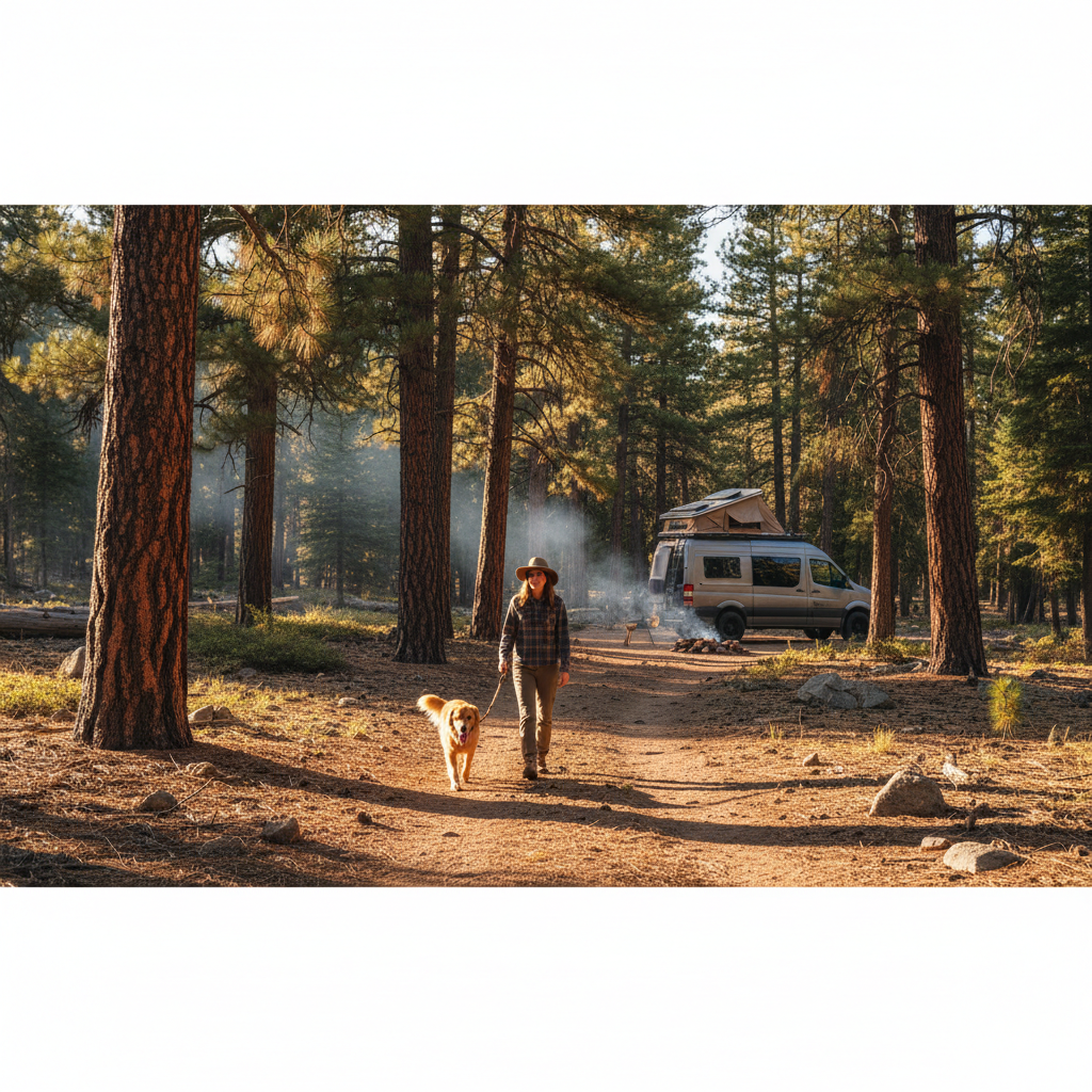
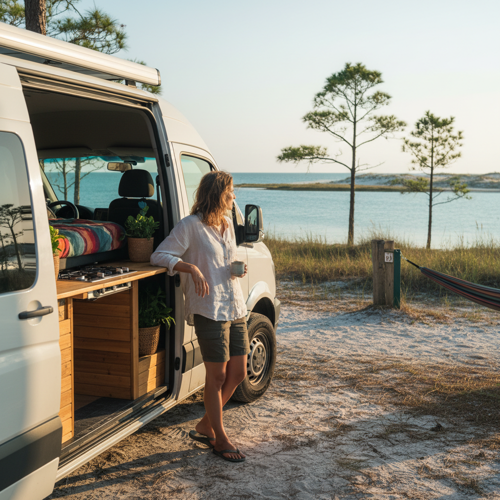
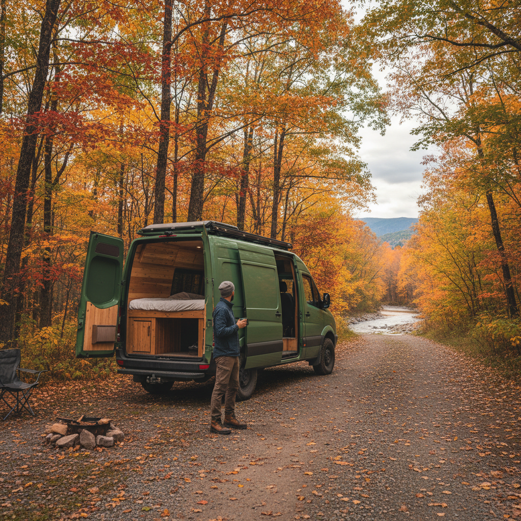

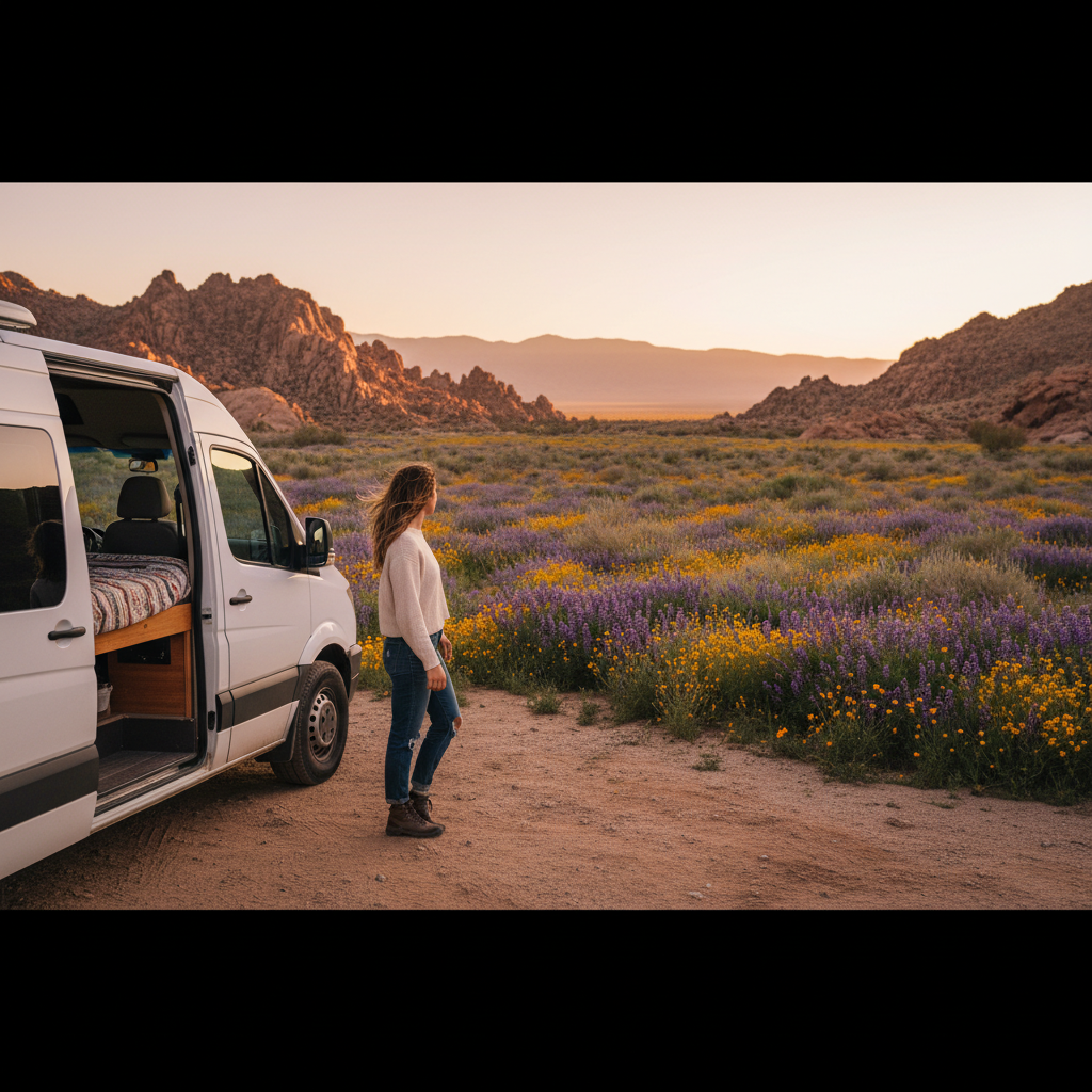
Botanists who track desert blooms will tell you rainfall totals from the previous October through February before they'll discuss any specific location, and there's a reason for that. Spring wildflower van trips across California and the desert Southwest live or die on a three-variable problem: winter precipitation, soil temperature, and elevation band. Get all three aligned and you'll drive through seas of gold poppies and purple phacelia that photographers wait years to witness. Miss one and you'll find cracked hardpan and a lot of apologetic rangers.
The tension no guidebook resolves cleanly is this: the windows at low-elevation desert sites like the Antelope Valley and Anza-Borrego close in as few as two to three weeks, while higher-elevation meadow routes in the Sierra Nevada foothills stay viable into late May. Chasing both in a single trip requires sequencing logic, not just a list of pretty roads. And the consequence of getting the sequence wrong isn't just disappointment: fuel costs, permit windows, and campsite reservations become sunk costs fast.
This guide won't cover alpine wildflower hikes requiring technical backcountry permits, nor is it aimed at day-trippers flying into LAX. It's written for people who have a van or a rig, a flexible schedule of at least a week, and a genuine interest in catching peak color rather than near-miss beige.
Why Timing Beats Location Every Time
The single most common mistake van travelers make is planning around a fixed calendar date rather than a rainfall-responsive forecast. California's deserts operate on what botanists call a masting-style germination response: seeds can lie dormant for years, then explode into bloom when a threshold of winter rain falls at the right soil temperature. The California Poppy Reserve near Lancaster, managed by California State Parks, issues bloom condition reports that are worth checking every few days in late February and early March rather than assuming a mid-March arrival guarantees color.
Or rather: it's not just total rainfall that matters. Distribution across the season determines whether early-germinating species like desert gold (Geraea canescens) dominate, or whether later, showier species like owl's clover and lupine catch up. A wet December followed by a dry January produces a different palette than even rainfall across all four winter months. That framing is why professional nature photographers track the Anza-Borrego Desert State Park wildflower hotline (maintained by the park) rather than relying on prior-year reports.
Elevation is the other axis most trip planners underweight. Low desert sites below 2,000 feet typically peak in late February through mid-March in strong years. The Temblor Range along Highway 58 near Carrizo Plain National Monument, managed by the Bureau of Land Management, runs about two to three weeks later than Anza-Borrego at similar latitudes. The Sierra Nevada foothills along Highway 49, the Gold Rush corridor, can hold color through late April and into May. A van trip that sequences low desert first, then Carrizo Plain, then the Highway 49 foothills can legitimately chase peak bloom across six weeks if winter rains cooperated.
Skip that sequencing logic and you're gambling. A solo trip anchored to a single destination with a fixed start date has maybe a 30 to 40 percent chance of hitting peak color in any given year, based on how frequently strong California bloom years occur historically. That's not great odds for a 1,200-mile round trip.
The Core Routes and What Makes Each One Work
Three routes form the backbone of any serious California and desert Southwest wildflower van circuit. Each has a distinct character, a distinct timing window, and a specific failure condition worth knowing before you commit driving days to it.
Anza-Borrego Desert State Park, at roughly 600,000 acres the largest state park in the contiguous United States, is the anchor for the low-desert window. California State Parks maintains a wildflower update page and a recorded hotline during bloom season. The western slopes near Borrego Springs and the Coyote Canyon corridor concentrate color most reliably because they face northwest and retain moisture slightly longer than the exposed flats. Van camping is available at dispersed sites outside the state park boundary and at Borrego Palm Canyon campground, which requires reservations through ReserveCalifornia. The failure condition here is a warm, dry February: if temperatures spike above normal before late-February rains arrive, the bloom stalls and the window can close before it meaningfully opens.
Carrizo Plain National Monument, a 250,000-acre BLM-managed grassland in San Luis Obispo County, operates on a different rhythm. It sits at roughly 2,000 to 3,000 feet and catches marine moisture from coastal systems in a way the Mojave does not. In strong years, the Temblor Range hillsides turn gold with tidy tips and yellow monolayered sheets of goldfields (Lasthenia californica) that are genuinely hard to photograph badly. Van camping at Selby Campground and Quail Lake Campground is first-come, first-served, which rewards travelers with flexible schedules. The practical upside of Carrizo Plain is that it peaks two to four weeks after Anza-Borrego, giving a sequenced trip a genuine second act.
For the Arizona and Utah leg, the Sonoran Desert around the Picacho Peak State Park corridor (between Tucson and Phoenix on I-10) offers Mexican gold poppies in years with adequate winter rain, typically peaking in late February through March. But the more reliable desert Southwest extension for van travelers is the Apache Trail loop east of Phoenix, where brittlebush and saguaro provide structural drama even in moderate years. Utah's redrock country around Canyonlands and Capitol Reef adds a third timing layer: at 5,000 to 6,000 feet, late April through mid-May is the reliable window for Indian paintbrush and cliffrose.
Check park-specific conditions through the relevant land manager before committing: California State Parks for Anza-Borrego, BLM's Bakersfield Field Office for Carrizo Plain, and the National Park Service for any Utah units. Calling the day before you drive two hours saves a miserable afternoon.
Building a Trip That Actually Sequences
A practical van itinerary for catching multiple peaks in a single spring trip runs roughly 10 to 14 days and requires committing to a rough sequence by late January, when winter rainfall patterns become clearer. I'd start with a flexible departure window rather than a fixed date: build the trip around a go/no-go decision made in the first week of February based on that season's rainfall totals.
The sequence that makes geographic sense: begin at Anza-Borrego in late February or early March, spend three to four days working the Borrego Springs area and the S-22 corridor, then drive north to Carrizo Plain for two to three days around mid-March, then continue either to the Highway 49 foothills of the Sierra Nevada for late-March to mid-April color, or loop east through Arizona if the Sonoran Desert bloom looks promising. Fuel costs for a loop from Southern California through Arizona and back run roughly $200 to $350 in a typical campervan getting 18 to 22 mpg, at current California fuel prices, which is a meaningful budget line.
What collapses this plan is inflexibility. Van travelers who lock hotel or Airbnb backup accommodations at fixed dates lose the adaptive advantage that makes a rig worth having. The whole point of van travel in wildflower season is that you can pivot two days out when a ranger report says Carrizo Plain is two weeks early. Book campsite reservations where required (Borrego Palm Canyon, for instance), but keep the non-reservation legs deliberately loose.
The alternative most travelers default to is booking a fixed-date guided wildflower tour, which removes the sequencing burden but hands control of timing to someone else's group schedule. That's fine if your schedule is genuinely inflexible. If you have the van and the flexibility, the guided tour is the wrong tool.
What Can Go Wrong and Who This Approach Fails
The sequencing strategy described above works well in years with above-average winter rainfall across the central and southern California desert system. In drought years or years where rain falls entirely outside the October-to-February germination window, no amount of sequencing produces a superbloom. During California's multi-year drought periods, even good sequencing logic produces marginal wildflower displays at best.
It also fails travelers without genuine schedule flexibility. If you have a hard return date or children in school, you cannot make a go/no-go decision in the first week of February and execute it a week later. This approach is designed for people who can actually move on short notice, whether that means remote workers, retirees, or people who've deliberately carved out a flexible block. Travelers who can commit only to a fixed two-week vacation window in March should pick one anchor destination and accept the uncertainty rather than over-engineering a sequence they can't actually execute.
Weather risk is real in a different sense too. March in the California desert can produce cold nights well below freezing at elevation and brief but intense rainstorms that turn unpaved access roads to Carrizo Plain into impassable mud. A 2WD van without all-season tires has no business on the Soda Lake Road in wet conditions. Know your rig's limits before you commit to backcountry access routes.
Reading Bloom Forecasts Like a Local
The best free resources for California wildflower condition tracking are the Theodore Payne Foundation's wildflower hotline (updated weekly during season), California State Parks' Anza-Borrego bloom reports, and the Antelope Valley California Poppy Reserve's conditions page. For the Arizona Sonoran Desert, the Arizona-Sonora Desert Museum in Tucson publishes phenology updates that are more precise than most general travel sites.
Buyers of fixed-date guided tours skip this research entirely, which is why they sometimes show up to underwhelming displays and leave disappointed. The research takes about 20 minutes a week for six weeks. That's the actual overhead of running your own sequence.
Social media wildflower tracking, particularly iNaturalist observation clusters in the relevant geographic areas, has become a genuinely useful signal in the last several years. An iNaturalist search filtered to the Borrego Springs area and sorted by recent observations will show you what's blooming this week faster than any official report. That's domain knowledge most published guides still don't mention, because most guides are written months in advance and can't track real-time phenology data.
The reframe worth holding onto: a spring wildflower van trip is not a sightseeing trip with a scenic backdrop. It's a seasonal harvest that requires reading conditions the way a surfer reads swell forecasts. The travelers who hit peak color consistently are the ones treating bloom reports as actionable data, not as reassurance to book a date they already planned.