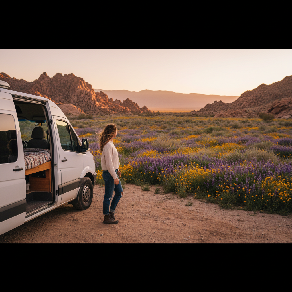
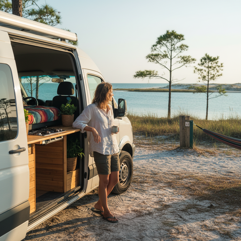
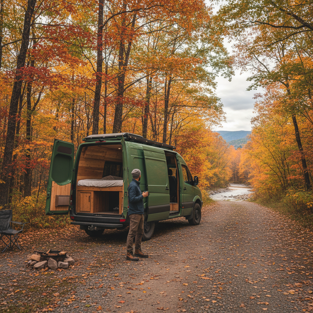
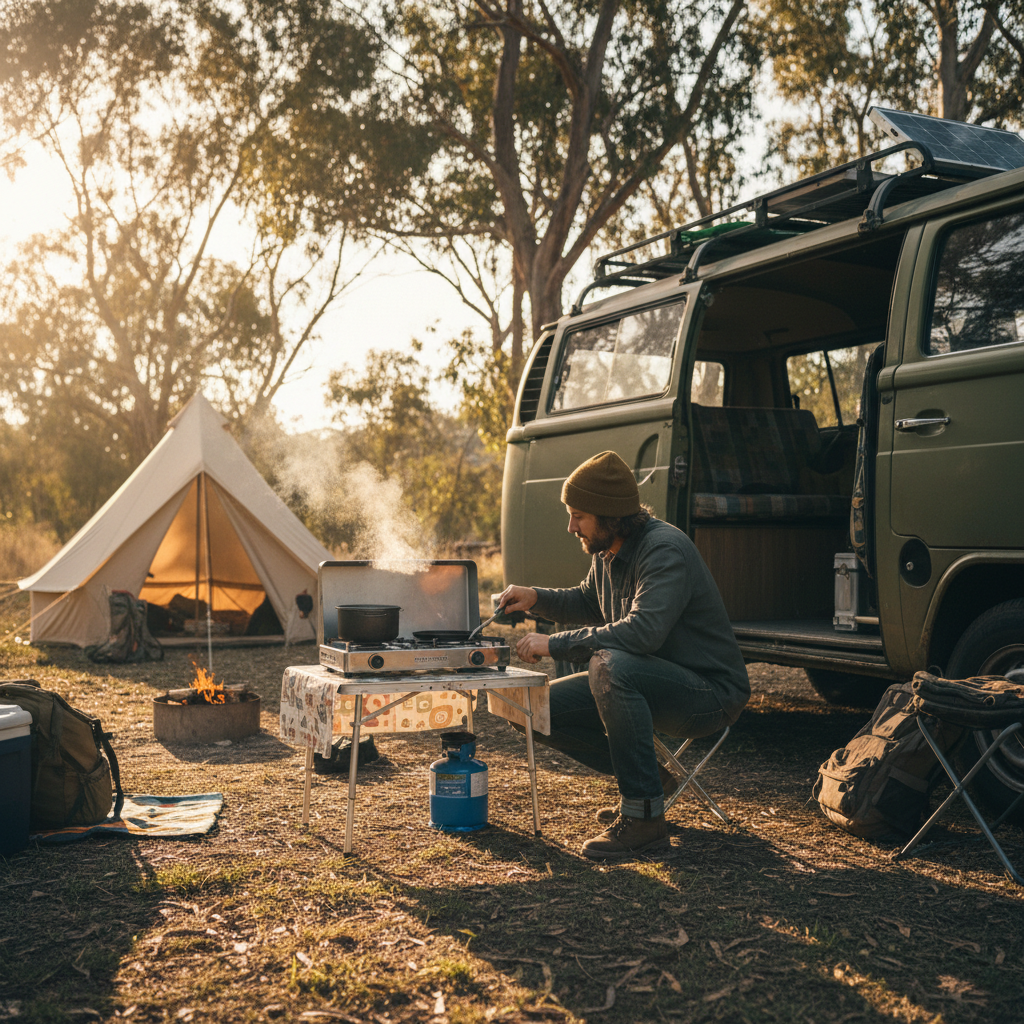
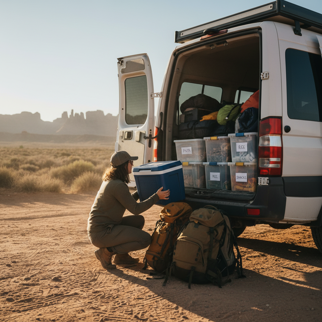

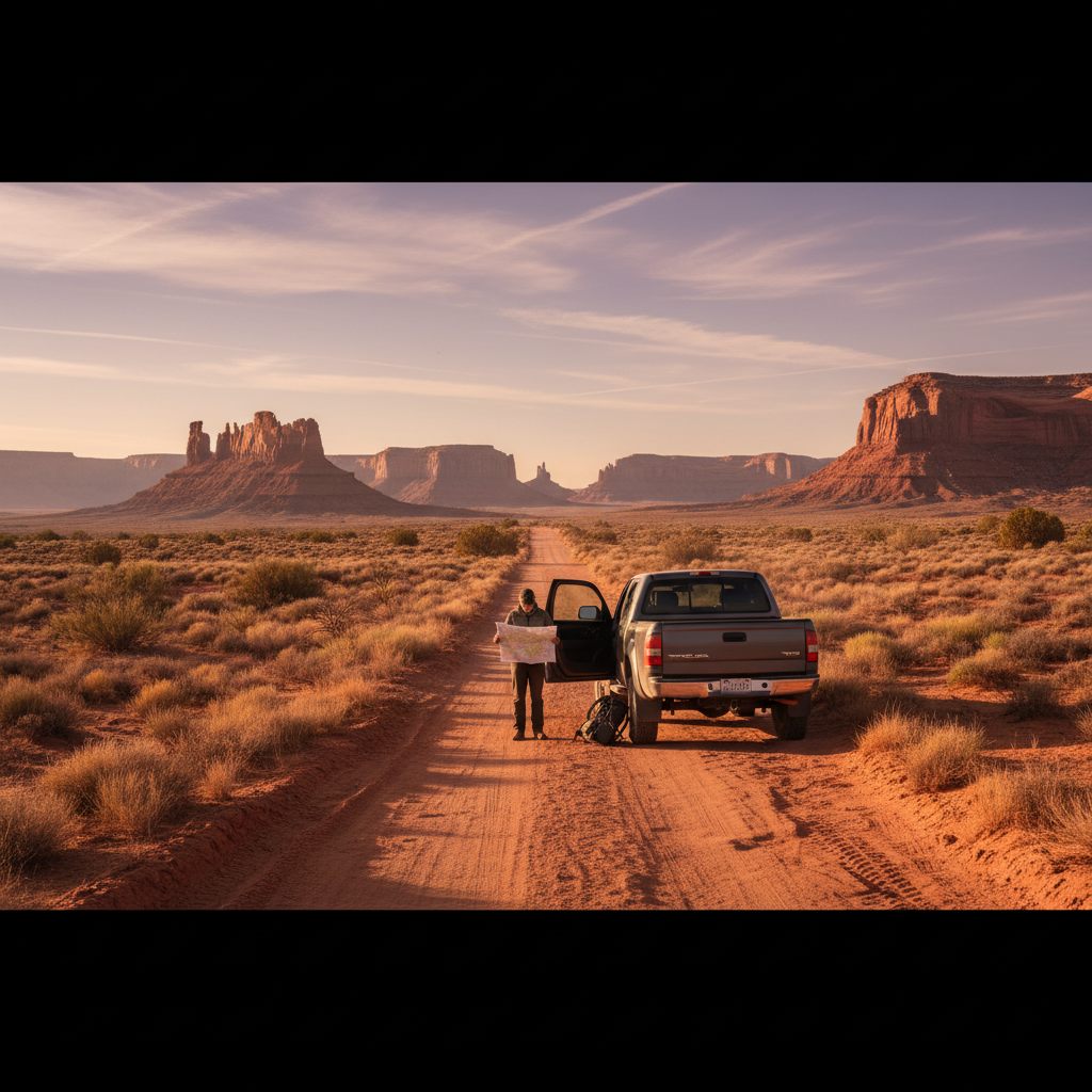
Experienced dispersed campers will tell you to skip the campground aggregator apps before they discuss anything else, and there's a reason for that. Those platforms index the spots everyone already knows, which means the sites filling up on a Thursday by 2 PM are the exact ones populating your search results. Finding genuinely quiet boondocking spots in the US requires a different research stack entirely.
The variables that actually determine how isolated you'll be include land jurisdiction, the applicable stay limit, how recently a road was graded, and whether a spot appears in any indexed database at all. Two sites separated by a quarter mile can have completely different visitor patterns because one shows up on iOverlander and the other doesn't. That asymmetry is the whole game.
Here's the tension nobody addresses cleanly: the tools that make dispersed camping accessible are also the tools degrading the spots worth accessing. Every time a remote site gets pinned and shared, its solitude has a measurable expiration date. This article is not a list of coordinates. It won't tell you where the quiet spots are. It will tell you how to find them yourself, which is the only approach that stays useful as conditions change.
Start With Land Jurisdiction, Not App Reviews
The single most consequential decision you make before leaving the driveway is choosing the right land management category. Bureau of Land Management (BLM) land, US Forest Service (USFS) land, and state trust land each operate under different dispersed camping rules, different stay limits, and different enforcement realities. Treating them as interchangeable is the fastest route to either a fine or a frustrating surprise at a gate.
BLM land is the most permissive for dispersed camping by default. Under BLM's general policy, dispersed camping is allowed anywhere not otherwise restricted, typically with a 14-day stay limit within any 28-day period before you must move at least 25 miles. That 14-day figure is a practical heuristic drawn from BLM's standard guidance, but individual field offices can and do modify it. The Moab Field Office, for instance, has historically applied more restrictive rules in high-use areas near corridor roads. Always confirm with the specific field office before committing to a multi-week stay.
USFS dispersed camping follows a similar 14-day guideline across most national forests, but the variation between forests is sharper than most guides acknowledge. Some forests require you to camp at least 100 feet from water, trails, and roads; others specify 200 feet. The Coconino National Forest in Arizona has site-specific closure orders that change seasonally. Download the Motor Vehicle Use Map (MVUM) for whatever forest you're targeting. That document, published by each national forest, shows which roads are open to motor vehicles and which are not. It's free, it's authoritative, and it's the document rangers actually cite when writing violations.
Or rather: the MVUM shows you what's legally accessible, but not what's actually drivable. A road marked open to full-size vehicles after a wet winter in the Pacific Northwest might require a high-clearance rig and local knowledge. Check road condition reports on the relevant forest's website, and call the ranger district directly if you're uncertain. A five-minute phone call is faster than a recovery situation.
State trust land is where a lot of dispersed campers get caught off-guard. In Arizona, Colorado, and New Mexico, state trust land requires a recreation permit. In Arizona, the State Land Department sells an annual permit for around $15 (as of recent years). Without it, you're trespassing regardless of how remote the location feels. Not every state has this structure, so check before you assume open land is public land.
Build a Research Stack That Finds Unindexed Spots
The spots worth finding are rarely on the first page of any search. They're on paper maps, in old trip reports buried in forum threads, and on satellite imagery nobody has bothered to cross-reference with road data. Building a research stack means layering sources so each one reveals what the others miss.
Start with satellite imagery before you open any community app. Google Earth's historical imagery function lets you check whether a road has been passable in different seasons, whether a site shows fire scarring, and whether previous visitors have left behind the rutted pullout pattern that signals a spot is more popular than it looks. Zoom in at the highest resolution available and look for track marks branching off main roads. Those faint double-track lines often lead to completely undocumented sites.
Then layer in OnX Offroad or Gaia GPS for land ownership data. Both apps display BLM, USFS, and private land boundaries on a base map. OnX's land ownership layer is particularly granular in the intermountain West and lets you verify, parcel by parcel, whether a pullout sits on public or private ground. This matters because a strip of private land can cut through an otherwise public area in ways that aren't obvious from the road. I'd start with Gaia GPS if you're primarily on foot or light vehicles, and OnX if you're running a larger rig with more road-type complexity.
After you've built a candidate list from satellite and land-ownership research, check iOverlander and Campendium, but use them as exclusion filters rather than discovery tools. If a site is on either platform with more than a handful of reviews, assume it's no longer quiet on weekends. Use those platforms to rule out already-known sites, not to find new ones. That inversion is what separates campers who reliably find solitude from those who show up to a crowded wash wondering where everyone came from.
The BLM's own GeoDataportal (at blm.gov) publishes shapefiles of land boundaries, travel management areas, and Areas of Critical Environmental Concern (ACECs). ACECs sometimes restrict camping, but they also often mark terrain that's complex enough to deter casual visitors. Downloading the shapefiles for your target state and importing them into Gaia GPS or CalTopo gives you a layer of information that community apps don't surface at all. It takes an hour to set up and pays off for every subsequent trip.
Timing and Weekday Math
Timing is underrated as a solitude variable. The same site that's packed on a May Saturday can be genuinely empty on a Tuesday in early April or late October. Weekend warrior patterns are predictable: most dispersed campers arrive Friday afternoon and leave Sunday morning, which means Monday through Wednesday represent a structural quiet window at nearly any site within a four-hour drive of a major metro.
Shoulder season compounds the effect. BLM land in southern Utah sees dramatically lower visitation in February and March than in April or May, even though the weather difference is often modest. If you can tolerate cooler nights (which a proper sleeping bag rating handles), you're trading a few degrees for a much smaller crowd. The payoff is real. Destination dispersed areas like the Alabama Hills near Lone Pine, California can be walkable on a weekday in November when they're overwhelmed on a March weekend.
The math works the other way too. If you ignore timing entirely and show up to a popular BLM corridor on a holiday weekend without a backup plan, you'll spend Saturday afternoon driving loops hoping someone leaves. That's not boondocking. That's campsite circling, and it burns fuel, burns patience, and usually ends at an RV park. Know your target site's peak pattern before you go, not when you get there.
Holiday weekends, including Memorial Day, Fourth of July, and Labor Day, compress visitation into a three-day window that rivals peak summer. Treat those weekends as off-limits for any site you care about and use them as scouting opportunities for sites you haven't tried yet. Go somewhere disposable, then come back on Tuesday when everyone else has left.
What Happens When You Skip the Research
Skipping the jurisdictional research and heading to a spot you found on a social media reel has a predictable failure pattern. You arrive to find the site is in a travel management area that restricts camping to designated sites. Or the road requires a high-clearance vehicle and you're in a minivan. Or you park legally but within 200 feet of a stream, triggering a riparian buffer violation you didn't know existed. Rangers in high-use areas like the Sedona ranger district or the Escalante Canyons unit issue citations for exactly these violations regularly during peak season.
The longer-term consequence is worse. When a site gets misused repeatedly, BLM or USFS typically responds with increasing restriction: first dispersed camping closures, then gate installation, then formal campground conversion with reservation requirements and fees. Areas that were freely accessible five years ago have followed this pattern in places like the San Rafael Swell and parts of the Coconino Rim. Skipping research doesn't just hurt your trip. Over time it degrades access for everyone.
There's also a safety argument. Remote dispersed sites can be far from cell service, far from potable water, and far from help. Going in without knowing the road conditions, the weather forecast, or the nearest point of emergency contact is a different kind of gamble than picking a busy campground without a reservation. The freedom of boondocking is proportional to the preparation you put in before leaving pavement.
Etiquette That Keeps Spots Open
The Leave No Trace principles are the baseline, not the ceiling. Packing out all waste, camping on durable surfaces, and not cutting new tracks into vegetation are requirements, not suggestions. But the etiquette that actually determines whether a site stays quiet and stays open goes a step further.
Don't share coordinates publicly. This is the single most effective thing you can do to preserve a site's character. Share spots with people you trust and who've demonstrated they treat land responsibly. A GPS pin posted to a Facebook group with 40,000 members is functionally a public announcement. The site will be packed within a month. But and this matters: the impulse to share is understandable. These places are genuinely beautiful and the instinct to show people is human. Channel it toward sharing the method, not the location.
Disperse your campsite within the site. If you arrive and see a worn circle of fire rings and flattened vegetation, using the existing impacted area is correct Leave No Trace practice. But if you're at a pristine site, camp at least 200 feet from water and spread vehicle and foot traffic to avoid concentrating impact. The fire ring question is a common mistake: building a new ring when one already exists adds impact; using the existing ring concentrates it. Use the existing one or use a fire pan and scatter the ash.
Stay limit compliance isn't optional. Exceeding the 14-day (or locally specified) stay limit and not moving the required distance isn't a gray area. It's the behavior that prompts rangers to install kiosks, mandate permits, and close access. Check the specific limit for your field office. Move when the limit requires it.
The following decisions separate campers who preserve access from those who accidentally erode it: use established tracks rather than cutting new ones, haul out more trash than you brought in, and camp out of sightlines from roads and trails. That last one is underrated. A campsite visible from a road draws attention and, eventually, imitators.
Finding Quiet Spots Is a Repeatable Skill
Start with land jurisdiction. Confirm the applicable stay limit with the relevant field office or ranger district before your trip, not when you arrive. Use the MVUM for forest roads and the BLM's GeoDataportal for land boundary data. Layer satellite imagery and land-ownership apps to identify unindexed candidate sites, then use community platforms to filter out already-popular ones.
If you're targeting BLM land in the intermountain West on a weekday in shoulder season, with ground-truthed road conditions and a backup site identified, you'll find genuine solitude more consistently than any coordinate list can provide. The research stack is the skill. It transfers to every new region you visit.
And if you do find a place worth protecting, protect it. The way you document a trip, what you share and with whom, is as consequential as how you camp when you're there.