


Leaf-peepers who drive New England every October outnumber the maples, and most of them are stuck in the same traffic on Route 100 in Vermont at the same time, looking at the same color that peaked three days ago. A van changes the math a little, but not automatically. Two days sounds like enough to see a lot of New England fall color, and it can be, but only if you accept early on that you're building a route around one window of peak color, not two or three.
The core problem with most two-day fall foliage itineraries is that they're written geographically, not temporally. They tell you which roads are pretty. They don't tell you that Vermont's Northeast Kingdom typically hits peak color in early-to-mid October while the Connecticut River Valley often holds color a full week later, which means the same loop that's spectacular on October 8th is half-bare and half-green on October 5th. That one-week gap is the difference between an expensive, cold, crowded trip and one worth repeating.
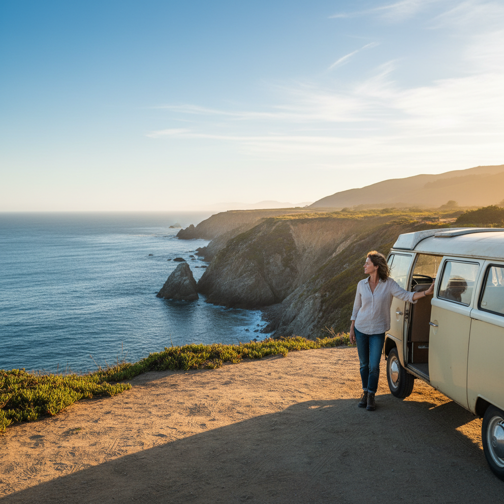
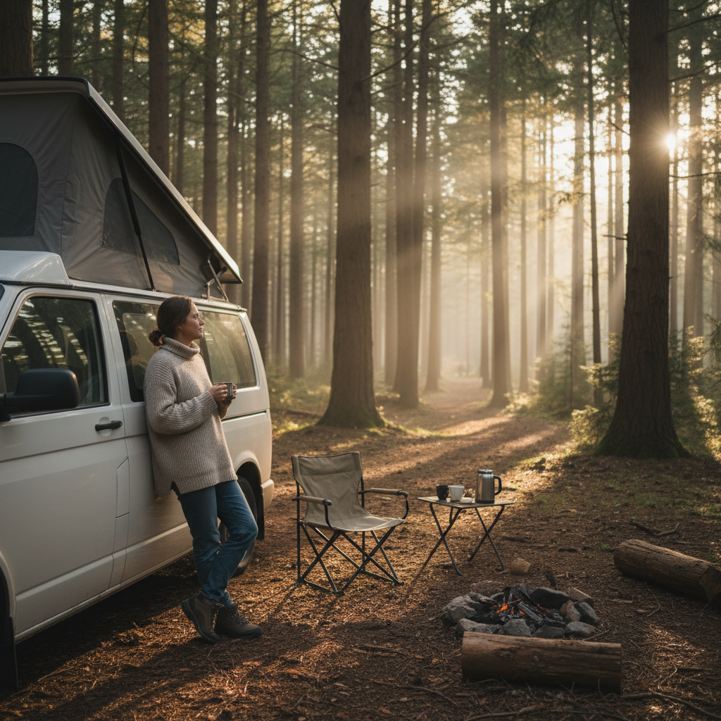
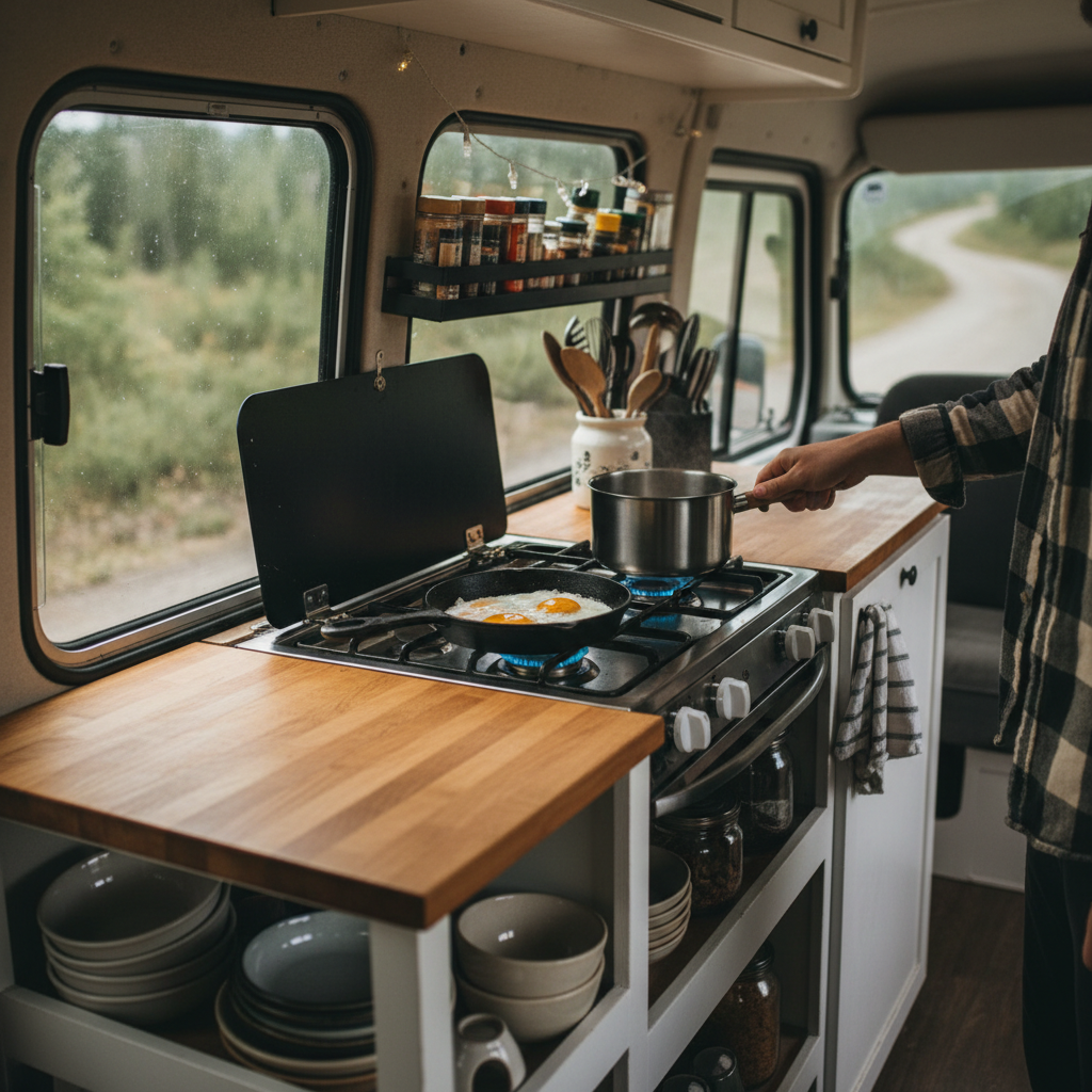
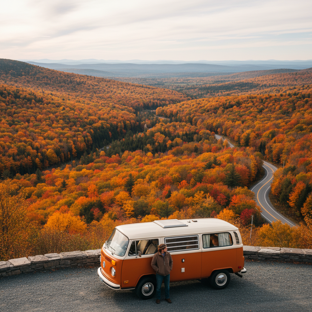
This route is designed for a cargo or campervan with a bed and a basic kitchen. It assumes you're comfortable sleeping in a paid campground or a dispersed forest site and that you have some flexibility on the exact weekend. If your dates are locked to a specific week regardless of color forecasts, this guide still works, but you'll need to read the timing section carefully and possibly invert the loop.
Reading the Color Calendar Before You Commit to a Direction
Elevation drives foliage timing more than any other single variable. In New England, color typically moves from north to south and from high elevation to low over roughly a four-to-six week window that runs from late September through early November. The White Mountains of New Hampshire often show good color by late September at the ridgelines; the Champlain Valley lowlands and much of coastal Massachusetts won't peak until late October. A two-day route that tries to see both will almost certainly miss one of them.
The practical approach is to target one elevation band and one latitude zone, then design the route to stay inside it. For a van-based two-day trip, this typically means one of two logical corridors. The first is a northern loop centered on Vermont's Northeast Kingdom and the Connecticut River towns just across the border in New Hampshire, which is at its best roughly October 5 through October 15 in a typical year. The second is a lower, more southerly loop through the Berkshires of Massachusetts and the Litchfield Hills of Connecticut, which usually peaks between October 15 and October 25.
The single most useful free resource for calibrating your timing is the foliage tracker published by the states' tourism offices. Vermont's official site (vermontvaacation.com) and New Hampshire's Division of Parks and Recreation both post weekly updates during the season. The USDA Forest Service's White Mountain National Forest office also posts conditions updates that are genuinely more precise than anything the travel media produces. Use these, not Instagram.
Or rather: use Instagram as a real-time ground-truth check in the final 48 hours before you leave, not as the basis for your planning. A post from a popular hiking account showing vivid color is often a trailing indicator, not a leading one. By the time a photo goes viral, peak may have passed the spot it shows.
Two Corridor Options and How to Choose Between Them
Before laying out the route structure, a direct comparison of the two corridors saves you from discovering halfway through planning that you chose the wrong one for your dates.
The table below covers the four criteria that actually change what you decide. Read the column that matches your target dates, then check the overnighting column for your van setup.
| Criterion | Northern Loop (VT/NH, Oct 5-15) | Southern Loop (MA/CT, Oct 15-25) |
|---|---|---|
| Peak color window | Early-to-mid October | Mid-to-late October |
| Overnight options (van) | Green Mountain National Forest dispersed, Vermont state parks | Berkshire state forests, CT state parks |
| Road character | Narrow two-lane, significant hill grades | Wider byways, more towns with services |
| Crowd density | High on weekends Oct 7-14 | Moderate except Columbus Day weekend |
If your dates fall squarely in one window, that corridor is the correct choice regardless of aesthetic preference. If your dates straddle the boundary, the northern loop is the riskier bet because its window closes faster once temperatures drop below freezing at night.
The northern loop is what this guide details in full, because it offers more van-specific overnight flexibility and more dramatic elevation change in fewer miles. The southern loop follows the same structural logic: pick two to three anchor roads, one overnight spot, and design a lollipop or figure-eight rather than a point-to-point.
The Northern Loop Route: Day by Day
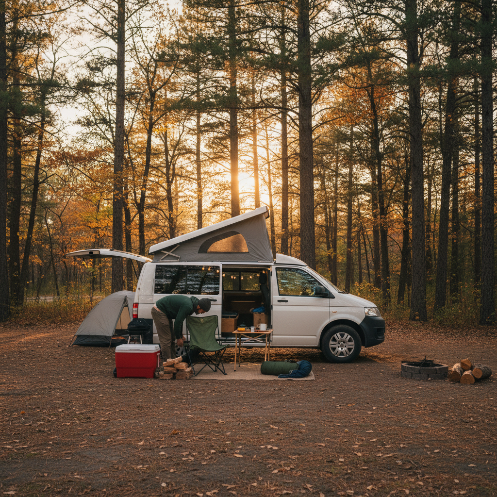
Start in St. Johnsbury, Vermont. It's a functional town with a grocery store, a fuel station, and easy highway access from I-93 or I-91, and it sits at the edge of the Northeast Kingdom, which is the part of Vermont most New Englanders consider the best foliage in the state. Get there the evening before Day 1 if you're driving from Boston or New York. Sleep in the van in the parking area off US-2 east of town, or use Groton State Forest (about 20 miles south), which has a first-come-first-served area that works for a van.
Day 1 runs east on US-2 through Danville and Peacham (stop in Peacham, it's worth 20 minutes), then south on VT-232 through Groton State Forest toward Barre. This stretch gives you the Northeast Kingdom's characteristic combination of open hilltop farms and dense maple stands without committing to the tourist crowds on VT-100. From Barre, cut east on US-302 toward Wells River, then drop south along the Connecticut River on VT-10 into New Hampshire. The river towns here, Orford and Piermont on the New Hampshire side, Newbury and Bradford on the Vermont side, are undervisited and usually in good color when the Kingdom is at or just past peak. Plan to stop and walk for 20 minutes somewhere between Wells River and Bradford.
Overnight on Day 1: White Mountain National Forest lands west of Woodsville, New Hampshire offer dispersed camping with no permit required, but you need to stay at least 200 feet from water and 100 feet from roads. This is not a formal campground. There are no hookups, no potable water, no cell signal in many spots. If that's not comfortable for your setup, the Swiftwater Campground on US-302 near Bath, NH, operates seasonally and accepts walk-ups in lower-demand weeks outside the peak weekend rush.
Day 2 heads north from the Connecticut River corridor on I-91 or the parallel NH-135, then west on US-302 to the Kancamagus Highway, which is officially NH Route 112. The Kancamagus is the most-photographed fall foliage road in New Hampshire for reasons that are entirely justified: it runs 34.5 miles through the White Mountain National Forest with no commercial development, crosses the Kancamagus Pass at roughly 2,855 feet, and typically shows peak color at the upper elevations a week before the valleys below. Drive it west to east, from Lincoln to Conway, because that puts the best morning light on the slopes ahead of you rather than behind. Stop at the Sabbaday Falls pullout and the Upper Falls area if you want to stretch. Both are short walks with disproportionate payoff.
From Conway, NH, you can close the loop by returning to Vermont via US-302 through Crawford Notch, then I-93 south and I-91 north back to St. Johnsbury, or exit south toward Boston or Portland depending on where you started. The full loop is roughly 280 to 310 miles of driving across two days, which leaves adequate time for stops without feeling rushed. That said, if you find yourself skipping stops to make miles, you've added too many waypoints. Cut Peacham or the Connecticut River towns, not the Kancamagus.
Overnight Strategy for Vans: What Actually Works in October
The frustrating truth about vanlife content covering New England fall is that it consistently oversells dispersed camping and undersells the access complications. Green Mountain National Forest does permit dispersed camping, but the roads that reach usable flat spots are unpaved and often softened by fall rain. A high-clearance van or a truck camper handles this fine. A Sprinter or Transit with stock suspension and 235-series tires is less confident on wet Class B forest roads in the dark at 8 PM after a full driving day.
The practical overnight hierarchy for this route, in order of reliability:
- Vermont and New Hampshire state park campgrounds with a reservation made at least two weeks out. Most parks keep a small percentage of sites unreserved for walk-ins, but on foliage weekends that inventory disappears by noon.
- White Mountain National Forest campgrounds on US-302 and NH-112 corridors, several of which operate first-come-first-served through mid-October.
- Dispersed sites in WMNF on Class A roads with a weather check the day before. The White Mountain National Forest website (fs.usda.gov/whitemountain) has a road condition update function that's more accurate than any third-party app.
- Private campgrounds in Wells River, VT, and North Woodstock, NH. Not scenic, but reliably flat, clean, and open in October.
What doesn't work: Walmart parking lots in Vermont (the state restricts overnight parking more aggressively than most). Rest areas on I-91 and I-93 post no-overnight-parking signs that are enforced during foliage season. Street parking in small town centers is technically unrestricted in many places but generates complaints and occasional knocks at 11 PM.
If you skip the reservation step and simply drive into the Northeast Kingdom on Columbus Day weekend expecting to find a flat, legal spot in the dark, you will spend at least an hour looking. That's not a worst-case scenario; it's the median outcome for unprepared arrivals on that specific weekend.
When This Route Doesn't Work (And What to Do Instead)
The northern loop described here is the wrong choice under three conditions that are specific enough to check before you leave home.
First: if your only available dates are a fixed Columbus Day weekend and you haven't booked overnight spots at least three to four weeks in advance, this loop is manageable but genuinely unpleasant on Saturday. NH-112 west of Conway sees traffic backups that can add 45 to 90 minutes to the Kancamagus crossing on peak-weekend Saturdays. Drive it on Sunday morning instead, before 9 AM, and the road is nearly empty. The color won't care what time you arrive.
Second: if you're in a large Class A motorhome or a vehicle over 26 feet, the Kancamagus Highway has formal vehicle length restrictions at certain sections, and the forest roads used for dispersed overnight camping are genuinely unsuitable. The southern loop through the Berkshires on US-7 and MA-8 is a better structural fit for larger rigs.
Third: if color has already peaked in Vermont before you leave home, don't drive north hoping to find it. That money is gone. The better move is to pivot the entire loop south and east: drive the Mohawk Trail in Massachusetts (MA-2 from Greenfield to North Adams), drop into the Litchfield Hills on CT-41 and US-44, and overnight in one of the Housatonic State Forest areas. You'll lose the elevation drama of the Kancamagus but you'll gain a week of color that's still on the trees.
Ignoring the timing entirely and driving the northern loop on a fixed date in late October almost guarantees arriving at largely bare trees above 2,000 feet and diminished color in the valleys. The drive is still beautiful. But it's not the drive you planned, and it's not the one worth the fuel cost if you're coming from more than four hours away.
Making the Most of Two Days Without Overscheduling
Two days of fall driving in New England fails in a specific way: the itinerary looks achievable on paper because the distances are short, and then every stop takes twice as long as planned because the light on a hillside pasture in mid-October is genuinely hard to leave. Build that in deliberately.
I'd structure each day around three anchors and nothing else. An anchor is a specific place where you'll stop the van, get out, and spend at least 20 minutes on foot. Not a drive-by. For Day 1 on the northern loop, the anchors are Peacham village, the bluffs above the Connecticut River near Newbury, and wherever you choose to overnight. For Day 2, the anchors are the Kancamagus Pass overlook, one of the short falls trails off NH-112, and your exit point.
Everything between those anchors is driving time for color. You're not stopping at every viewpoint. You're reading the road as it comes and stopping when something genuinely earns it, which will happen three or four times you didn't plan for. That's the point of the van. You can stop.
Check fuel before VT-232 through Groton State Forest. There are no stations on that stretch, and the nearest reliable option north of Barre on that corridor is St. Johnsbury. The same applies to the Kancamagus: Lincoln and Conway are the only fuel points, and the highway between them has nothing. These aren't dramatic warnings; they're the kind of thing that becomes a problem exactly once before you learn to check.
Pack for temperatures that will drop faster than the forecast suggests. Above 2,500 feet in early October in New Hampshire, morning temperatures routinely sit in the mid-30s Fahrenheit even when the valley forecast says 48. If your van's heating setup is marginal, that's worth knowing before you park at 2,800 feet for the night.
Your Route, Staged
Use this as a pre-departure reference. Every entry is a check or a decision, not a guarantee.
Pull the Vermont and New Hampshire foliage trackers no more than five days before departure. If Vermont shows peak or past-peak statewide, shift south. If it shows 50 to 75 percent, your timing is close to ideal.
- Overnight reservation confirmed or dispersed site scouted on satellite map before you leave
- NH-112 vehicle length check completed if you're over 22 feet
- Fuel topped off before VT-232 and again in Lincoln, NH
- Weather check 48 hours out for overnight lows above 2,000 feet
The reframe that makes this easier to plan: a fall foliage van route in New England isn't a sightseeing checklist, it's a weather event you're trying to intercept. The roads are fixed. The color isn't. Every good decision in this guide flows from accepting that the calendar serves the trees, not the other way around.
Two days done well beats five days done passively. Pick your corridor. Check the trackers. Drive the anchor roads. Stop when the light earns it.