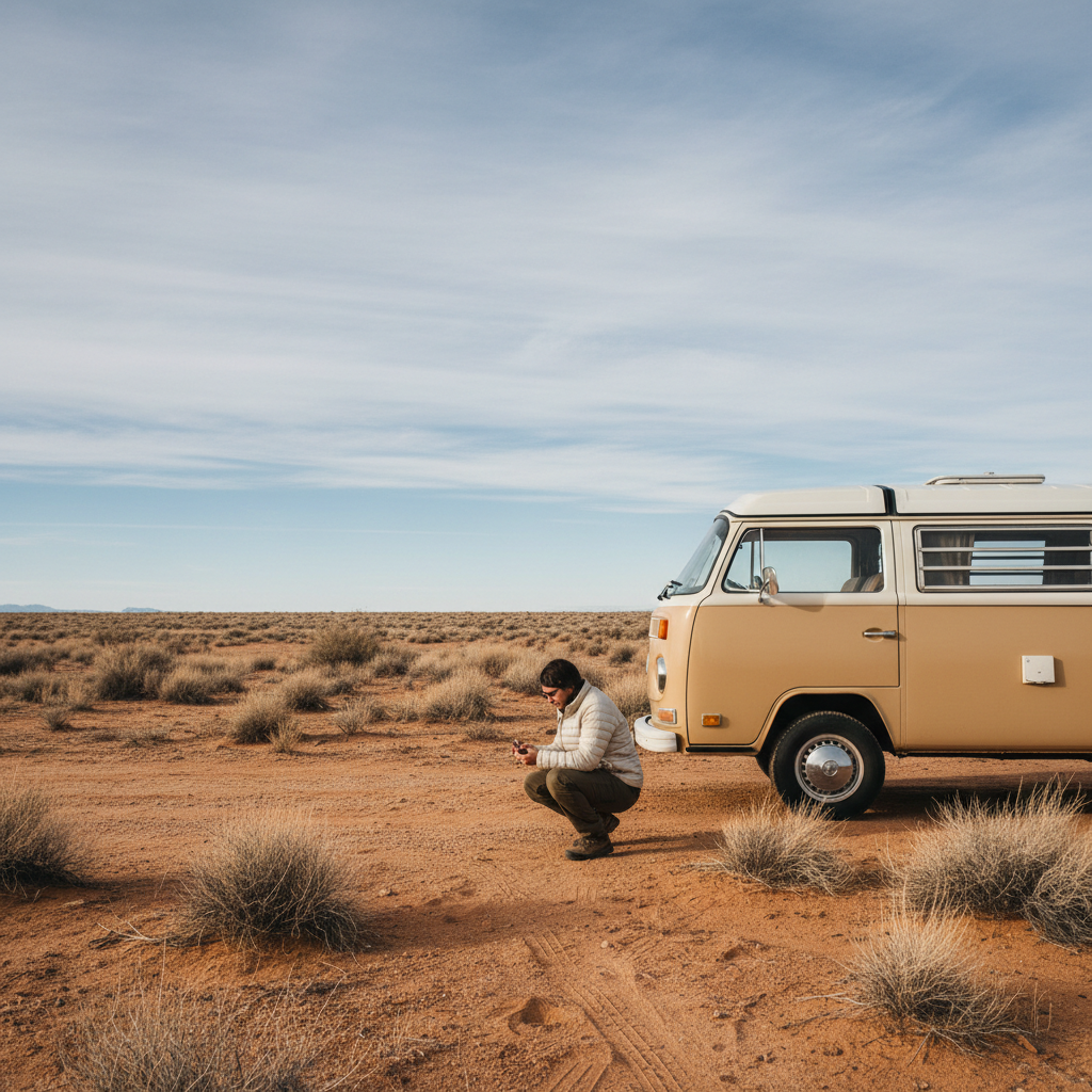

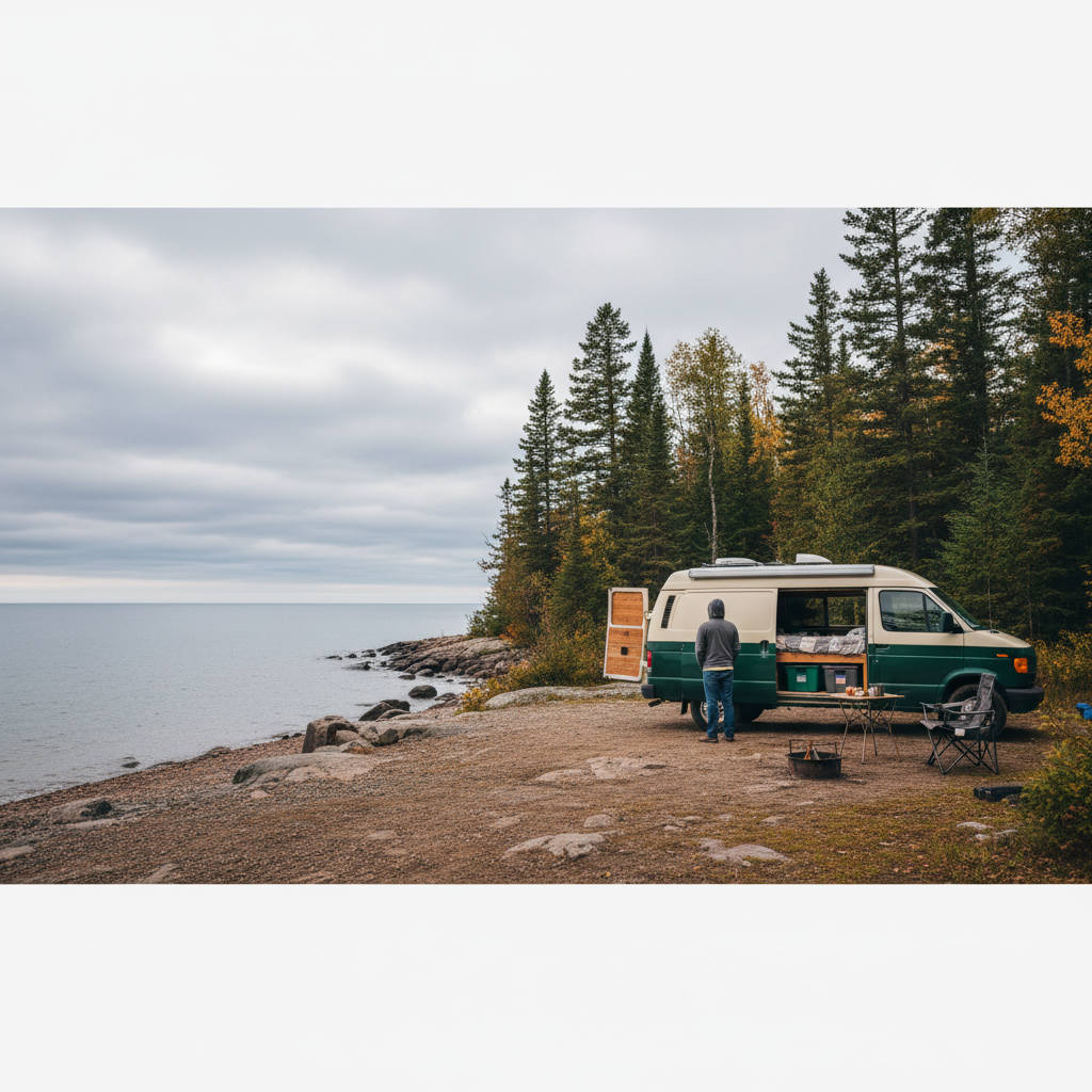
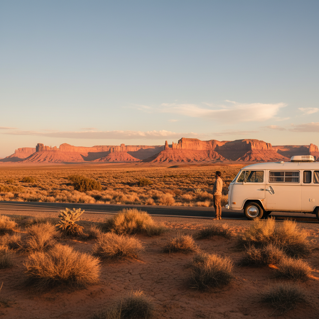
A veteran camp host at Cottonwood Campground in Canyonlands will tell you the permit situation before they discuss anything else, and there's a reason for that. The Southwest's most photogenic camper van corridors sit inside a patchwork of BLM land, National Park boundaries, and tribal permit zones that can shut down your entire itinerary if you show up uninformed. Scenic drives for camper vans in the Southwest are genuinely world-class, but the gap between a transformative trip and a frustrating scramble for last-minute sites is narrower than it looks on the map.
Three variables determine whether your route works: your rig's clearance and length (many of the most rewarding dirt spurs hard-cap at 25 feet), the month you're rolling (desert heat above 105°F is not a romantic hardship, it's a mechanical and safety risk), and whether you've sorted your dispersed camping windows before leaving home. Ignore the third one and the other two won't matter.
Here's the tension that most Southwest trip-planners hit: the drives that look best in photos are often inside permit-managed corridors where walk-up availability has collapsed since 2020. Recreation.gov reservations for spots along the Highway 12 corridor in Utah and the North Rim approach to Grand Canyon routinely fill three to six months out. If you're reading this two weeks before your departure date, your route options are real but narrower than you'd like.
The Routes Worth Building a Trip Around
Not every paved road through red rock deserves your limited vacation days. These four corridors consistently deliver the combination of drive quality, boondocking access, and rig practicality that makes a Southwest camper van trip worth the fuel cost.
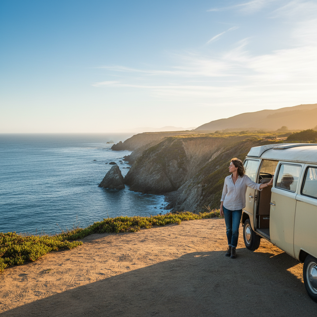
Utah Highway 12 (Bryce Canyon to Capitol Reef): The 124-mile stretch between Bryce Canyon National Park and Capitol Reef is routinely cited by the American Automobile Association as one of the most scenic roads in the country, and that reputation is earned. The road crests above 9,000 feet at the Boulder Mail Trail section, which matters if you're running a high-top diesel and tracking your coolant temperature. Dispersed camping is available on adjacent Grand Staircase-Escalante National Monument BLM land, though the monument's remote sections require high-clearance and the Forest Service recommends checking road conditions at the Escalante Interagency Visitor Center before heading off pavement. Campgrounds at Escalante Petrified Forest State Park offer hookups if you want a fallback.
US-89 from Page, Arizona, to Kanab, Utah: This is the underrated workhorse of the Southwest circuit. It connects Antelope Canyon (permit-only for photography tours, but viewable from the road corridor), Glen Canyon National Recreation Area, and the Vermilion Cliffs National Monument with minimal traffic compared to the national park entrance corridors. BLM's Arizona Strip Field Office manages significant dispersed camping land along this stretch. Rigs up to 40 feet can navigate the main highway without issue; the Wirepass Trailhead spur and the House Rock Valley Road demand more clearance judgment.
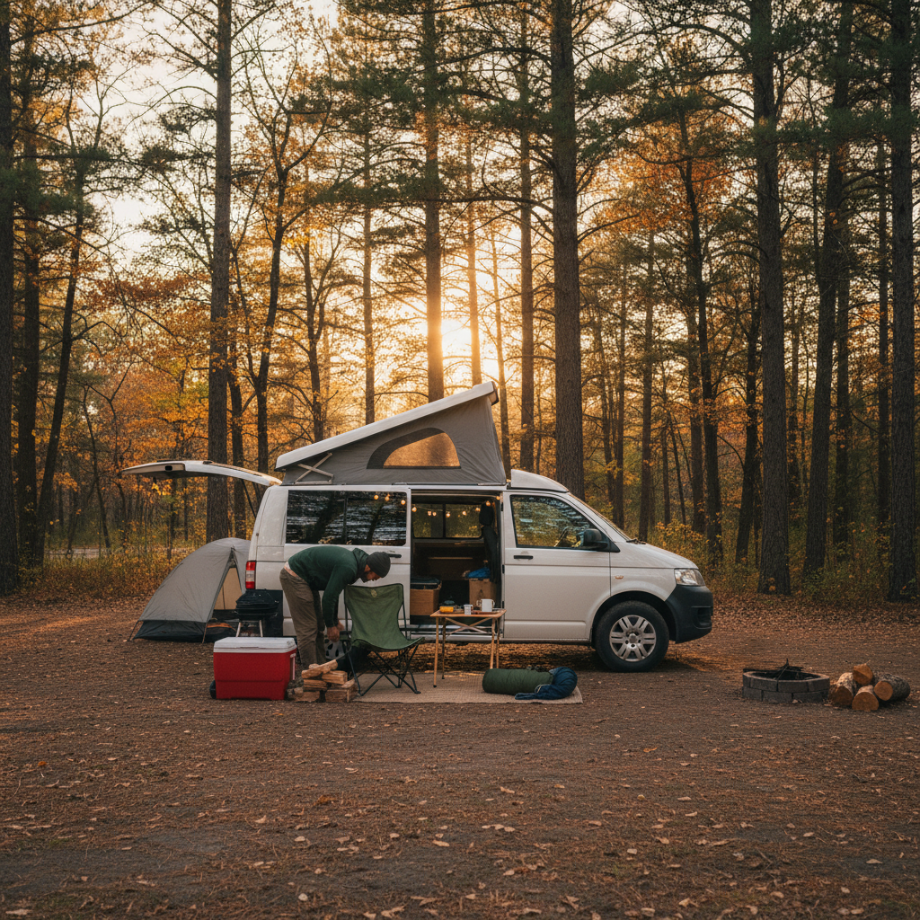
New Mexico's Enchanted Circle Scenic Byway (NM-38 / US-64): The 83-mile loop around Wheeler Peak in northern New Mexico runs through Carson National Forest and is genuinely overlooked in most Southwest van life content. Elevations push past 8,000 feet, which means cooler summer temperatures than the canyon country to the west. The Carson National Forest offers dispersed camping under standard 14-day limits, and Questa and Red River have fuel and grocery stops close enough together that range anxiety isn't a problem. This route suits rigs that find Moab's summer crowds a pain.
The Loneliest Road Approach: Nevada US-50 into Great Basin: If your goal is genuine solitude and you're comfortable with 50-plus-mile fuel gaps, US-50 through central Nevada is the anti-Instagram Southwest drive. Great Basin National Park sits at its eastern terminus with first-come, first-served camping at lower campgrounds (no reservation system as of 2024 for the main campgrounds, though the NPS advises confirming current policy at nps.gov/grba before arrival). The drive itself won't produce the layered sandstone backdrop you associate with Utah, but for a certain kind of van traveler, the austere basin-and-range geometry is the point.
What the Season Actually Does to Your Route
Spring and fall are the consensus sweet spots, but that framing misses something. The Mojave and Sonoran desert floors are passable and often beautiful from late October through April. The Colorado Plateau, which includes most of the Utah corridor, runs about six weeks behind the lower deserts: expect snow at elevation into early May and again by late October. These aren't the same Southwest.
Summer in the canyon country is not a dealbreaker if your rig has working air conditioning and you're disciplined about the 10 AM to 4 PM heat window. But if you're running a converted van without roof AC, July temperatures in Moab routinely exceed 100°F, and shade camping options at lower elevations are genuinely scarce. Heat-related mechanical failures (overheating, tire pressure spikes on dark pavement) are common enough that the AAA Southwest offices report a seasonal spike in roadside assistance calls from converted vehicles in July and August.
The Enchanted Circle and Great Basin routes flip this calculus. Both stay tolerable through July because the elevation does the work. If you're committed to summer travel, routing through northern New Mexico or Nevada instead of the Utah canyon country isn't a compromise, it's the smarter call. Put more precisely: the question isn't which Southwest season is best in general, it's which elevation band your rig and your heat tolerance match best, and then building the route backward from there.
One firm boundary: flash flood season runs roughly July through September across the Colorado Plateau. The BLM and National Park Service both issue slot canyon and wash camping advisories during monsoon season. Slot canyon access near Page specifically requires guide-led tours partly for this reason. Ignoring weather advisories in wash campsites has killed people. Check the weather a full 24 hours upstream, not just at your location.
Permits, Dispersed Camping Rules, and Where Rigs Get Turned Away
The permit landscape for Southwest public land camping changed significantly after 2020. Recreation.gov now manages timed-entry permits for Arches National Park, some Zion National Park shuttle areas, and portions of the Coyote Buttes permit zone (the Wave). Dispersed camping on BLM land adjacent to these parks remains permit-free under standard 14-day stay limits, but the access roads serving the best BLM sites are where rig size creates real constraints.
Here's a quick-reference breakdown of what matters before you leave the pavement:
The table below reflects general access patterns as of 2024. Always confirm road conditions with the relevant field office before departing.
| Route / Area | Rig Limit (typical) | Permit Required? | Best Booking Window |
|---|---|---|---|
| Highway 12 corridor (UT) | 25 ft off-pavement spurs | NPS campgrounds via Recreation.gov | 3 - 6 months out |
| US-89 / Vermilion Cliffs BLM | 40 ft on highway; clearance needed on spurs | No (BLM dispersed) | First-come |
| Enchanted Circle / Carson NF | 40 ft most paved sites | No (NF dispersed, 14-day limit) | First-come |
| Great Basin / US-50 (NV) | 35 ft lower campgrounds | No (NPS first-come as of 2024) | Arrive before noon in peak season |
The off-pavement spur limit is the number that catches people. A 30-foot Class C motorhome will physically navigate Highway 12's main road without incident. Getting to the BLM dispersed sites worth dispersed camping for (the ones with the layered canyon views) requires turning onto unmaintained tracks where the BLM's own signage states 25-foot maximum. That's not a suggestion.
For solo converted vans and Sprinter-size rigs under 22 feet, access is nearly unrestricted on the routes listed here. Larger Class A and C motorhomes need to plan their boondocking nights around established campgrounds or the highway-adjacent BLM pull-outs, which are legitimate but don't deliver the isolation most people are chasing.
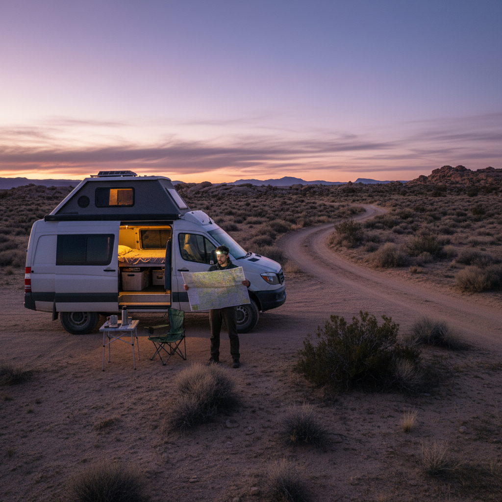
And if you skip the permit and reservation research entirely? You'll spend your first two nights in a Walmart parking lot in Moab while scrolling Recreation.gov on your phone watching available dates disappear. That's not catastrophic, but it turns a two-week trip into a ten-day trip, and the two lost days are usually the ones you drove the furthest to reach.
The Honest Case for US-89 Over the Iconic Utah Loop
The Utah Mighty Five loop (Zion, Bryce, Capitol Reef, Canyonlands, Arches) is the default Southwest camper van itinerary recommended in nearly every van life guide published since 2018. It's genuinely worth doing. But for a first-time solo traveler or a couple with a converted Sprinter who wants actual wilderness solitude rather than campground neighborliness at 15-foot intervals, US-89 between Page and Kanab delivers more of what van life actually promises.
Cheap guides miss the fact that the BLM land along the Arizona Strip corridor adjacent to US-89 is substantially less trafficked than the Moab basin, even on holiday weekends. I'd start with a two-night dispersed camp on the Paria River bench east of Kanab before committing to a full Utah loop, because that single camp will recalibrate your expectations for what the Southwest can feel like when you're not parked 30 feet from another rig's generator.
The realistic alternative to US-89 as a Southwest van anchor is the Moab basin itself, specifically the Kane Creek Road corridor managed by BLM's Moab Field Office. Kane Creek delivers iconic red-rock canyon scenery with dispersed sites accessible to rigs under 30 feet. But peak-season weekends bring ATV traffic and the kind of dusty, high-density camping that feels more like an outdoor festival than a desert escape. Both are valid. They're not the same experience, and most trip-planning content treats them as interchangeable.
So here's the reframe worth carrying into your planning: the Southwest's best camper van drives aren't the ones with the most dramatic vistas, they're the ones where your rig size, season, and permit timing actually align with the access conditions on the ground.
Before You Leave Home: The Short List
Route research is more useful two months out than two weeks out. Here's what to lock down early: Recreation.gov reservations for any NPS campground on your primary route, a fuel-stop map for any Nevada or remote New Mexico segment (50-mile gaps are real), and a confirmed road condition call to the relevant BLM field office if you're planning off-pavement nights.
The BLM's National Call Center (1-800-BLM-FIRE for fire closures; individual field offices for road conditions) and Recreation.gov are the two authoritative sources for permit and availability data. Third-party apps that aggregate campsite data can be useful for discovery but often lag closures and rule changes by weeks.
This article doesn't cover van conversion specifics, mechanical prep, or water storage calculations. Those are real trip-shapers, but they belong to a different decision. What's covered here is the route and access layer: where to go, when it opens, and what physically blocks you from getting there.
Get the permit window right and the rest of the planning falls into place. Miss it and no amount of the right gear fixes a booked-out campground at 9 PM in the desert.