

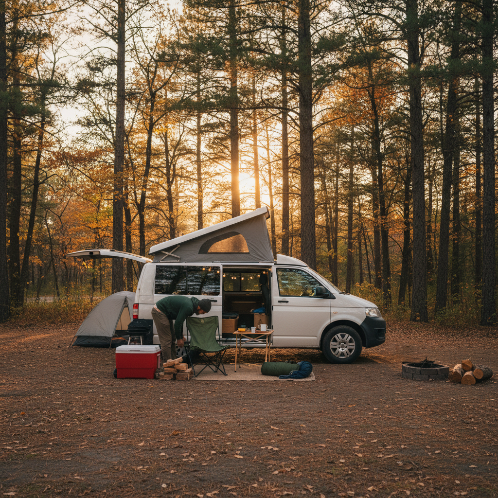
Van campers will tell you the app question comes up before almost anything else when someone is planning their first overnight trip, and there's a reason for that. The wrong tool doesn't just add friction. It sends you somewhere your rig can't legally stay, or leaves you circling a Walmart parking lot at 11 PM wondering if the manager will knock.
The honest answer is that the best app for finding camper van overnight spots depends on three things most comparison lists flatten into nothing: whether you're boondocking on public land, paying for a site with hookups, or hunting urban free parking. Each of those scenarios has a different winner, and the apps that serve one poorly often serve another brilliantly.
There's also a gap that almost nobody addresses. The tension between apps built around crowdsourced data and apps built around official agency data matters enormously when you're trying to determine whether a spot is currently accessible, not just historically reported as accessible. Crowdsourced platforms go stale. BLM roads wash out. Fire closures come and go. Depending entirely on user reports can put you on a 10-mile dirt road to a closed gate after dark.
The App Ecosystem Isn't Built for Vans Specifically
Here's something buyers of van-specific guides miss: almost no app in this space was engineered specifically for camper vans. Most were built for tent campers, RVers, or overlanders, and the van community has adapted them. That adaptation works unevenly depending on your rig.
A full-size cargo van conversion running 20 feet sits in a different category from a Sprinter with a rooftop tent. Neither one fits neatly into the length and hookup fields on most campground-finder apps, which typically assume you're declaring yourself either a tent camper or a motorhome. That's worth knowing before you subscribe to anything.
The practical split looks like this: use iOverlander or FreeRoam for dispersed and free camping on BLM and National Forest land, use The Dyrt or Campendium for paid campgrounds and reviews, and use Freecampsites.net (the browser tool) or iOverlander's urban layer for stealth and urban overnight spots. No single app covers all three contexts with equal depth. Choosing one general-purpose app and expecting it to do everything is where most new van campers waste time and money.
Or rather: it's not just that one app is weak in certain categories. It's that the underlying data sources are fundamentally different across contexts, and no aggregator has bridged them without noticeable gaps.
Free and Dispersed Camping: Where the Real Decisions Are
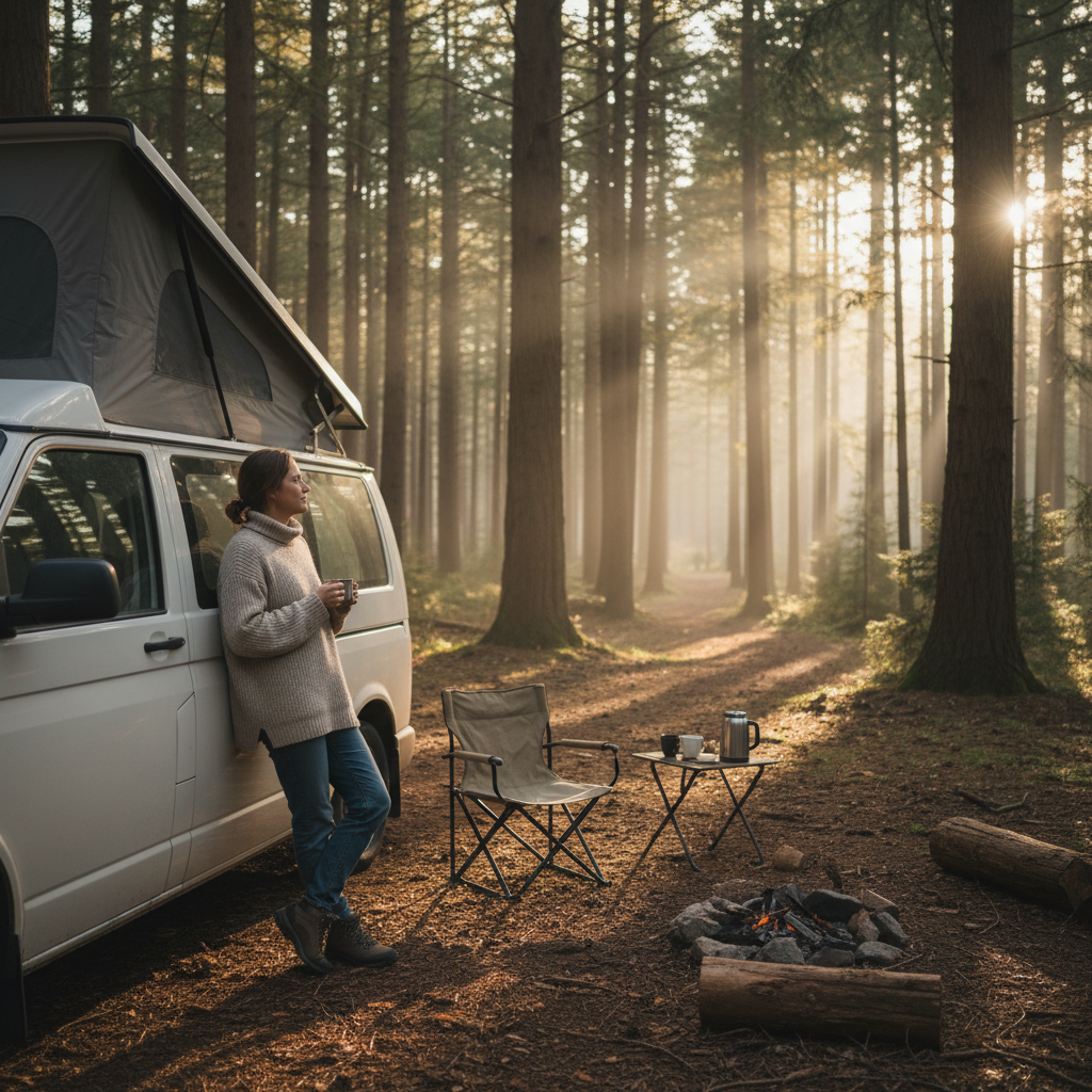
Boondocking on public land is where the app choice is most consequential. Get it wrong and you're not just uncomfortable; you may be parked illegally on private land that borders public land, which happens more than the van life community admits.
FreeRoam is the strongest purpose-built option for BLM and National Forest dispersed camping. It layers official agency boundary data directly from the Bureau of Land Management and US Forest Service, which means you can verify that the ground you're standing on is actually public land, not just historically reported as campable. That's the critical difference. Freecampsites.net relies on user submissions, which are valuable but can be years old. A road reported as passable in 2021 may have washed out or received a seasonal closure since then.
iOverlander fills a different niche. Its community skews toward international overland travelers, which means its US database is thinner than FreeRoam's for dispersed camping specifically, but it's excellent for border regions, off-grid hosts, and spots that don't appear in official agency data at all. Think: a rancher's gate left open with a handshake agreement, or a primitive pullout in the desert Southwest that's technically legal but never been reported to any agency. Those spots live in iOverlander.
If you camp exclusively on BLM land and National Forests, consider pairing FreeRoam with the official Recreation.gov app. Recreation.gov is where you book reserved dispersed permits for areas like the Boundary Waters or heavily-trafficked zones near national parks that have moved to a quota system. You cannot book those through FreeRoam or iOverlander; Recreation.gov is the only channel.
Paid Campgrounds and Reviews: What The Dyrt Gets Right
The Dyrt is the most useful paid-campground finder for van campers in the US. That's a strong claim, so here's the mechanism: its review layer captures van-specific details that matter and KOA's own website doesn't mention, things like whether the pull-through sites actually fit a high-roof Sprinter, whether cell signal is usable, and whether the host enforces quiet hours. Those details come from the van community itself, which reviews with different priorities than tent campers or Class A RV drivers.
The Dyrt Pro (the paid tier, running around $36 per year as of 2024) adds offline maps, which matter more than the price suggests. When you're dropping into a canyon in Utah or driving through parts of Wyoming without signal, offline access to site locations and basic details is not a convenience. It's the difference between finding your spot and guessing.
Campendium is a legitimate alternative, particularly for its filter granularity on hookups and rig length. If you want to filter specifically for 50-amp service, dump stations, and sites under $25 per night, Campendium's filter system handles that more precisely than The Dyrt's. But its review volume is lower, which means popular spots are well-documented and obscure spots often have one review from 2019.
What you won't get from either platform: real-time availability. Both The Dyrt and Campendium show you where campgrounds are, not whether sites are open tonight. For that you still need Recreation.gov, the campground's direct booking page, or ReserveAmerica. This is a genuine gap in the ecosystem. If you skip checking availability directly and assume the app tells you a site exists means a site is available, you'll drive to full campgrounds on a Friday night. It happens constantly.
Urban Overnight Parking: The Hardest Problem in the App Space
Stealth camping in cities and towns is where every app struggles, and it's worth being direct about why. Urban overnight parking laws are set at the municipal level, enforced inconsistently, and change without notice. No app can keep pace with that. What crowdsourced urban parking data actually gives you is historical tolerance, not current legality.
That said, iOverlander has the most useful urban layer for van campers specifically. Freecampsites.net covers urban spots but its data skews toward RVs and tends to list parking areas rather than street spots. The Dyrt is weakest in urban contexts; it's primarily a campground app and makes no serious claim otherwise.
Walmart and Cracker Barrel overnight parking, a staple of van life discussion, operates on store-level manager discretion, not corporate policy. The common guideline that Walmart allows overnight parking is a practical heuristic based on long-standing informal tolerance, not a published corporate rule. Stores in urban areas and California frequently don't allow it regardless of what any app reports. Always confirm with the manager on duty, not just the app.
Harvesting the van life community on Vanlife Wanderer or the r/vandwellers subreddit gives more current urban intelligence than any app. Apps for urban overnighting are a starting point, not a source of truth.
When These Apps Fail: The Condition That Changes Everything
Every app in this ecosystem has the same structural vulnerability: data lag. A spot reported as accessible last summer may sit behind a locked gate today due to a fire closure, seasonal restriction, or land ownership change. The BLM and Forest Service issue closures on short notice, and crowdsourced platforms can take weeks or months to reflect them. FreeRoam is most resistant to this problem because it layers official boundary data, but even it doesn't update closure orders in real time.
The condition where app reliance most often fails van campers: peak season in the Southwest and mountain West, roughly Memorial Day through Labor Day. Dispersed camping areas near popular national parks see heavy enforcement during peak season, and spots that are genuinely free and legal in September may require a permit or carry a 14-day stay limit that's actively enforced in July. Apps report the baseline rules, not seasonal enforcement intensity.
If you're traveling during peak season in high-traffic corridors, check the relevant BLM field office or National Forest ranger district website directly before committing to a route built around app data. The Moab BLM Field Office and the White River National Forest, to name two examples, post current closure and permit information that no app consistently mirrors. Skipping that check and relying solely on crowdsourced data in peak season is how people end up with fines or nowhere to sleep.
How to Pick Your Stack
You don't need five apps. You need two or three that cover your actual camping style without overlap.
For the van camper who primarily boondocks on BLM and National Forest land: FreeRoam is the core tool, backed by Recreation.gov for any reserved permits. Add iOverlander if you travel internationally or into Mexico.
For the van camper who mixes paid campgrounds with occasional free camping: The Dyrt Pro is worth the $36 annual fee for offline maps alone. Pair it with Freecampsites.net for free spots and you've covered most situations.
For full-time van lifers who spend significant time in cities: iOverlander for urban spots, The Dyrt for paid campgrounds when you want a shower and a dump station, and direct contact with host facilities for anything that matters enough to drive more than an hour toward.
The better question is not which single app is best, but which combination maps to your ratio of free camping to paid camping to urban overnighting. Get that ratio right first. Then pick the stack that matches it. I'd start with FreeRoam and The Dyrt Pro as the baseline for most van campers in the US, and add a third app only after you've identified a real gap those two don't cover.
Skip building a stack entirely, and you're navigating from memory and guesswork. At some point that means a long drive to a locked gate or a parking ticket before sunrise.
Quick Reference: Apps by Camping Context
The table below maps the four main overnight contexts to their strongest app options. No app scores top marks across all four, which is the entire argument in one glance.
| Context | Strongest App | Key Strength | Notable Gap |
|---|---|---|---|
| BLM / National Forest dispersed | FreeRoam | Official agency boundary data | Doesn't update closures in real time |
| Paid campgrounds | The Dyrt Pro | Van-specific reviews, offline maps | No real-time availability |
| Urban overnight parking | iOverlander | Community-sourced urban spots | Data reflects historical tolerance only |
| Reserved permits (National Parks corridor) | Recreation.gov | Official booking, quota system access | Limited discovery; need coordinates first |
Use this as a starting filter, not a final answer. Your specific rig size, hookup needs, and travel corridor will shift which app earns the most use in your stack.
Making the Right Call Before You Hit the Road
If you camp on BLM land or National Forests, download FreeRoam before your next trip and cross-reference any spot you plan to use with the relevant agency field office website for current closures. That's the move that prevents the 10-mile-dirt-road-to-locked-gate problem. Tonight, not eventually.
If paid campgrounds are part of your rotation, activate The Dyrt Pro for a month before committing to the annual fee. The offline maps are what justify the cost; if you're staying in areas with reliable cell signal, the free tier may be enough.
One thing worth stating plainly: the van campers who get burned by bad app data are almost always the ones who used a single app for every context. Match the tool to the context. Check agency sources for current conditions when peak season or a high-traffic corridor is involved. And confirm urban overnight tolerance with a person, not a pin on a map.