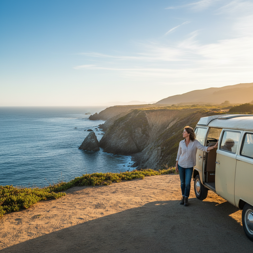


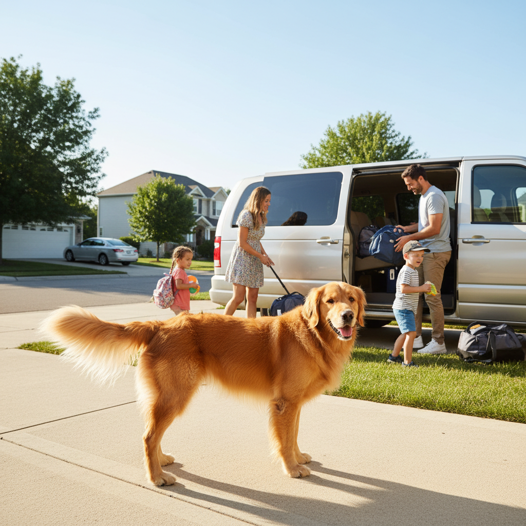
Guides on van camping almost always treat the Great Lakes region as a backdrop rather than a destination with its own routing logic. Pick the wrong loop and you'll spend half your weekend on interstate shoulders watching trucks pass, camped in a state park designed for RVs with 50-amp hookups you don't need, wondering why the trip felt like a chore.
The five-state arc from Wisconsin's Nicolet to Ohio's Lake Erie shore covers more than 2,000 miles of shoreline, three national forests, and dozens of state forest campgrounds that allow dispersed-style primitive camping for free or near-free, but the routing decisions that separate a tight, memorable loop from a fuel-burning dead end aren't obvious from a map. Seasonal road conditions on Forest Service roads, permit windows, and the difference between a "rustic site" designation in Michigan versus Wisconsin will shape your weekend more than which lake you're sleeping next to.
Here's the tension worth sitting with before you commit to any route: the loops with the best lakefront access tend to require the longest drive-in segments on two-track roads that beat up vans not built for it, while the easy-access loops sacrifice the solitude that makes van camping worth doing at all. Neither guideline solves that for you. Your van's clearance and your Thursday-night departure time are the two variables most routing articles never ask about.
How to Match a Loop to Your Actual Setup
Before picking a route, run through four quick filters: your base city, your van's clearance (stock 2WD passenger van handles differently than a lifted Sprinter), whether you'll cross into Ontario, and whether you're targeting one long overnight or two shorter stops. Those inputs change the answer completely.
Hiawatha and Pictured Rocks in the Upper Peninsula is the region's most celebrated van loop and for good reason, but it requires at least a 5-hour drive from Chicago or Detroit before you've even turned north toward Munising. If you're leaving Friday after work, you're arriving Saturday morning, which compresses a "weekend" loop into roughly 28 usable hours. The UP rewards those with a second day of buffer time, not those squeezing it into a standard two-night trip.
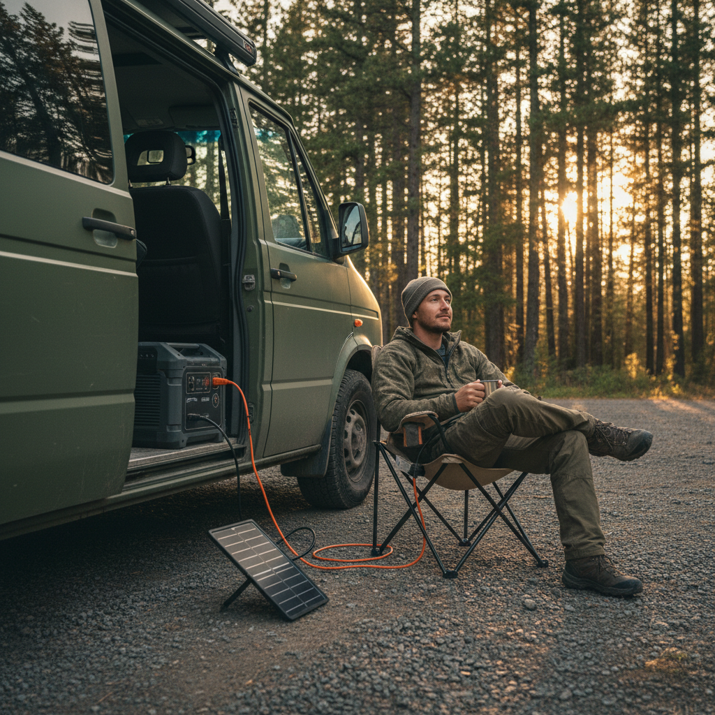
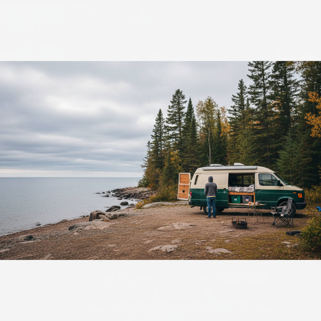
Nicolet National Forest in northeastern Wisconsin solves the access problem for anyone based in Minneapolis or Milwaukee. Forest Road 2182 north of Lakewood puts you within 30 minutes of primitive sites along the Peshtigo River corridor, and the drive from Milwaukee stays under 3.5 hours. That's a Friday-night departure loop: drive up, camp twice, back Sunday. The sites are first-come, first-served, have no fee as of the last published Nicolet fee schedule, and have fire rings, but no water. Bring 5 gallons minimum.
Or rather: Nicolet isn't purely a budget alternative. Several sites along Spectacle Lake sit on the water directly, and the kayak-access-only campsites visible from the road remind you that the forest is genuinely wild, not just uncrowded. That's worth the 40-minute unpaved stretch to reach them.
For Ohio and Indiana-based van campers, the Erie shoreline gets oversold as a camping destination. Honest assessment: it's fine for a single night, but the loop logic breaks down because there's no second anchor point within a comfortable radius that matches the quality. The better regional loop from that base runs northwest into Michigan's Manistee National Forest, where the Nordhouse Dunes Wilderness is the only federally designated wilderness in Michigan's Lower Peninsula. Overnight permits for Nordhouse are free and self-issued at the trailhead, but vehicle camping isn't allowed in the wilderness itself. You camp at Peterson Bridge or Rainbow Bend campground and day-use into the dunes. That distinction trips up a lot of planners.
The Five Loops Worth Knowing
These five routes represent genuinely different experiences, not just geographic spread. The table below shows the decision-relevant comparisons. Match your row to your base and setup, then read the notes below it.
Each loop is assessed on drive time from the nearest metro anchor, road surface requirements, camping type (free dispersed, low-fee primitive, fee-based developed), and the one variable most people don't account for until they're already on the road.
| Loop | Nearest Metro | Drive to Camp | Road Surface | Camping Type | Watch-Out |
|---|---|---|---|---|---|
| Nicolet NF / Peshtigo Corridor | Milwaukee, Minneapolis | 2.5 - 3.5 hrs | Paved to gravel, 2WD OK | Free primitive (USDA Forest Service) | No water on-site; fire restrictions June - Aug |
| Pictured Rocks / Hiawatha NF | Detroit, Chicago | 5 - 6 hrs | Paved, some two-track optional | Low-fee developed + free dispersed | Requires true 2-day minimum; packed Aug weekends |
| Manistee NF / Nordhouse Dunes | Grand Rapids, Indianapolis | 2 - 3 hrs | Paved to packed sand | Low-fee at trailhead camps | Wilderness permit required; vehicle camping excluded |
| Chequamegon-Nicolet / Lake Namekagon | Minneapolis, Madison | 3 - 4 hrs | Forest road, 2WD adequate in dry conditions | Free dispersed + low-fee sites | Black bear activity; bear canister or hang required |
| Porcupine Mountains Wilderness SP | Milwaukee, Minneapolis | 5 - 6 hrs | Paved park roads | Fee-based ($13 - $28/night Michigan DNR rates) | Reservations needed May - Sep; walk-in sites limited |
The Porcupine Mountains loop is the outlier here: it's a state park with reservation infrastructure, which means it's predictable and accessible but doesn't offer the flexibility that makes van camping distinct from any other car-camping trip. If you're already sleeping in your vehicle and cooking at your tailgate, you're probably not optimizing for electrical hookups. The Porkies earn their place on this list because the Lake of the Clouds view and the old-growth hemlock stands are genuinely hard to find anywhere else in the Midwest, not because the logistics are ideal for van-specific travel.
The Chequamegon-Nicolet split forest (yes, it's one administrative unit now, though locals still refer to the Chequamegon and Nicolet sides separately) runs along the Lake Namekagon corridor with enough dispersed camping to spend three nights without repeating a site. The Namekagon is also a National Scenic River managed jointly by the National Park Service and the Forest Service, which matters for understanding where you can camp within the riparian zone. A common mistake I see in van-camping forums is treating the Namekagon campsites as unrestricted; within 200 feet of the river, you're in NPS jurisdiction and camping is regulated.
What Kills a Weekend Loop Before It Starts
Forest Service road conditions are the variable that should drive your final route decision, and the USDA Forest Service Motor Vehicle Use Maps (MVUMs) are the authoritative source for which roads are open and to what vehicle class. The MVUMs are updated annually and available by forest district on the USDA Forest Service website. Print the relevant one before you go. Cell coverage in Nicolet and Hiawatha drops to nothing inside 10 miles of most primitive sites, and a cached Google Maps route won't tell you that FR-2182 is seasonal-only past a certain junction.
Permit timing is the second trip-killer. Nordhouse Dunes self-issue permits have no quota, but Pictured Rocks backcountry permits for overnight stays in the national lakeshore do. The National Park Service requires a permit for all backcountry camping in Pictured Rocks National Lakeshore, and popular sites along the Chapel Loop book out weeks in advance through Recreation.gov during July and August. If you're planning a spontaneous August weekend, assume Pictured Rocks backcountry is unavailable and build your loop around Hiawatha dispersed sites instead, which don't require a permit.
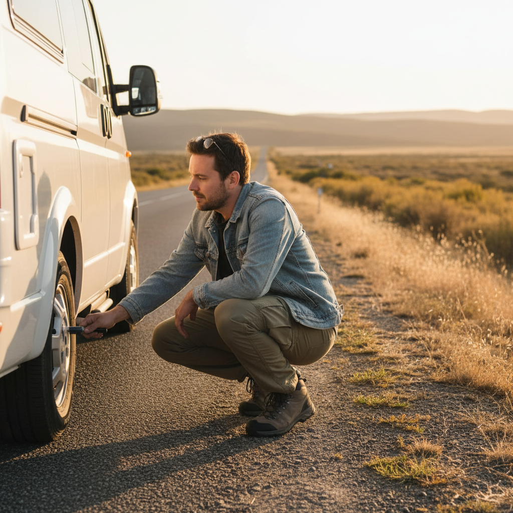
And then there's the fuel math. A weekend loop in a Sprinter or Transit getting 18 mpg highway covers roughly 600 miles of combined driving on a well-designed route. At current regional diesel prices (typically $0.10 - $0.20 higher than regular unleaded), that's a meaningful cost difference from a gasoline-powered build. Not enough to change the trip, but enough to matter when you're adding camp fees and food. Run the actual number before you leave.
What happens if you skip this research and drive blind? You arrive at a locked gate, a fee station you didn't budget for, or a road that's technically passable but will cost you a $400 alignment afterward. Those aren't edge cases. They're the standard outcome for underprepared loops in Nicolet and Chequamegon during shoulder season.
The Ontario Question
A few of the loops in this region sit close enough to the Ontario border that the question comes up: should you cross? The short answer for a weekend van loop is usually no, and the reason is logistical, not scenic. Canadian Customs requires standard entry documentation, and if your van has been modified for sleeping (which triggers questions about residency intent at some crossings), the crossing can take longer than expected. None of that is unmanageable, but it adds friction to a trip designed for simplicity. Beyond that, OHIP and Ontario provincial park fees, booked through Ontario Parks rather than Recreation.gov, operate on a separate reservation system with its own rules.
That framing misses something. The real issue isn't paperwork; it's that Ontario's best van-accessible loops, particularly around Lake Superior Provincial Park north of Sault Ste. Marie, aren't weekend trips from US metros. They're 8-to-10-hour drives from Chicago or Detroit. Treating them as a weekend extension of a Great Lakes loop undersells what they deserve and oversells what a 48-hour window can deliver.
This article is not covering Ontario routes in depth for that reason. If you have five or more days, the north Superior coast changes the calculation entirely. For a weekend loop departing Friday evening and returning Sunday night, stay south of the border.
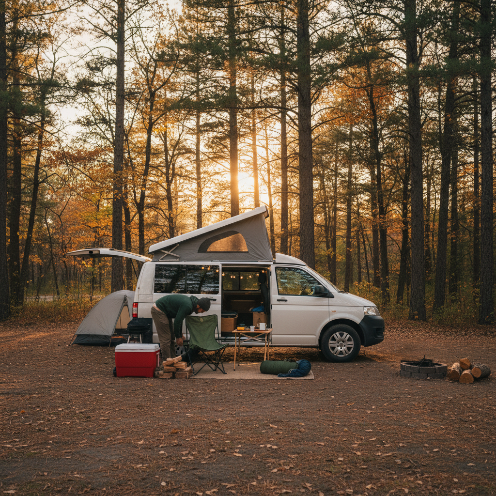
Dispersed Camping Rules That Actually Apply Here
"Dispersed camping" gets used loosely online. In the National Forest context, it means camping outside of designated campgrounds, generally at least 200 feet from water, roads, and trails, with no fee and no reservation required. That's the USDA Forest Service definition, and it applies in Nicolet, Hiawatha, Manistee, and Chequamegon-Nicolet. But each forest district publishes its own Motor Vehicle Use Map showing which roads allow dispersed camping and which are restricted to day use only. A road that appears on a general map may be closed to overnight vehicle camping at the district level.
The practical sequence for dispersed camping on any of these loops: download the MVUM for your specific district, identify roads marked as open to dispersed camping, then call the district ranger office to confirm current conditions. That last step takes 10 minutes and eliminates the most common trip-failure scenario.
Length-of-stay limits in national forests typically cap at 14 consecutive days in one location before you must move at least 5 miles. That rule rarely affects a weekend trip but matters if you're planning a longer stay with a weekend loop as the anchor. Campfire restrictions during dry summer periods are enforced through forest orders, which are posted on the district website and occasionally updated mid-season. Check within 48 hours of departure.
State forests in Michigan and Wisconsin allow dispersed camping under similar rules, and in some cases the state forest sites are actually closer to population centers than the national forest alternatives. Michigan's DNR manages the Traverse City State Forest and Mackinaw State Forest with designated dispersed camping areas; their website uses the phrase "rustic camping" rather than dispersed, but the functional rules are the same. Wisconsin's state forests use the term "backcountry camping" with a $5-per-night self-registration fee at most locations.
Building the Loop That Works for You
I'd start with base city and departure window before any other variable. Those two inputs eliminate most of the table above immediately.
If you're in Milwaukee and leaving Friday at 6 PM: Nicolet via Lakewood. If you're in Detroit and can leave Thursday night: Hiawatha dispersed sites or the Pictured Rocks corridor. Grand Rapids or Indianapolis: Manistee. Minneapolis: Chequamegon-Nicolet or Nicolet depending on whether you want river or lake. If you can only manage Saturday morning departure from anywhere: plan for one destination, not a loop. A loop pretends you have more time than you do.
Check square footage and storage before you finalize dispersed sites. Smaller vans (Ford Transit 130" wheelbase, for example) handle most forest roads without issue. Extended-length conversions above 22 feet may not fit designated dispersed areas on tighter forest roads, and turning around on a two-track is not a fun problem to solve in the dark.
The single decision that improves nearly every Great Lakes van weekend: pick your campsite on the map before you leave home, confirm it's currently open via the district office, and treat everything else as flexible. The route, the stops, the hiking, the swim spots. Those you can improvise. The campsite you cannot, especially on summer holiday weekends when every established site within two hours of Chicago fills by noon Saturday.
Skimp on that prep and you'll be sleeping in a Walmart lot in Rhinelander, which is a perfectly fine contingency and also a complete waste of having a van.
If You're Going, Go Prepared
If you're based within 4 hours of Nicolet or Manistee, reserve nothing and drive north with your MVUM downloaded and 5 gallons of water in the van: those forests have enough capacity that a Friday-night arrival still finds open dispersed sites except on Memorial Day, Fourth of July, and Labor Day weekends. On those three weekends, book a developed site in advance or shift your weekend by one week in either direction.
If you're targeting Pictured Rocks and going in July or August, book Recreation.gov 3-4 weeks out for any backcountry site in the national lakeshore. If those are gone, build around Hiawatha NF dispersed camping instead and use Pictured Rocks as a day visit from camp. That's not a compromise; the Miners Beach and Chapel Falls day hikes deliver the scenery without the permit scarcity.
The Great Lakes corridor has more quality van camping per square mile than most of the American West, with far less booking pressure outside peak summer. The infrastructure is quieter about it. That's not a defect.