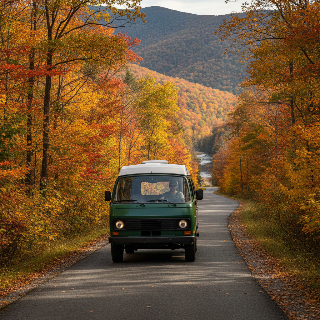
Rangers at Milepost 316 will pull you aside before you reach the tunnel if your rig is too tall, and that moment is not one you want to engineer on purpose. The Blue Ridge Parkway runs 469 miles through Virginia and North Carolina, and driving it in a camper van is one of the more genuinely rewarding road trips in the American Southeast, but the road has real operational constraints that trip-planning posts tend to brush past.
Height clearances, reservation windows, generator hours, and seasonal campground closures are the four variables that actually determine whether your trip works. Get one wrong and you're turning around at a tunnel, sleeping in a gravel pullout, or sitting in a line of leaf-peepers that moves at walking pace. The tension nobody talks about: the Parkway's design is deliberately rustic and unhurried, which makes it extraordinary to look at and occasionally punishing to plan around.
This guide is specifically for people driving a converted van or a Class B motorhome. It won't cover Class A rigs or fifth wheels. Those vehicles face a different set of restrictions and deserve separate treatment.
Vehicle Restrictions That Actually Matter on the Parkway
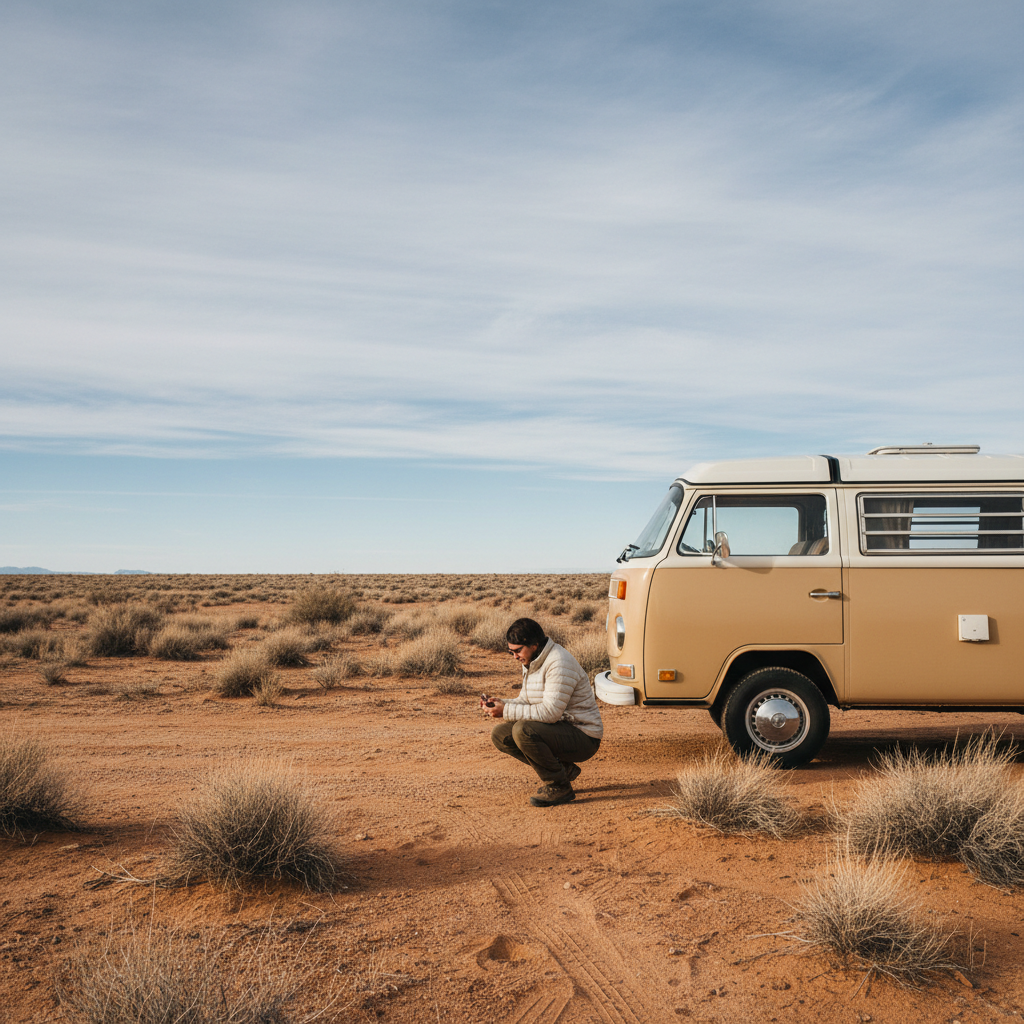
The National Park Service publishes clearance data for Parkway tunnels, and the lowest on record is the Cumberland Knob area tunnel at roughly 11 feet 6 inches, though several tunnels in the North Carolina sections run at 12 feet or under. Most factory-built high-roof cargo conversions top out around 9 feet 6 inches with a rooftop unit, which clears comfortably. But add a rooftop tent, an elevated solar array on a custom rack, or a cargo box, and you can push past 11 feet without realizing it. Measure your rig with everything loaded before you leave home, not in the parking lot of a gas station 40 miles from the tunnel.
Vehicle length is a softer constraint, but it still matters for campsite access. The Parkway's developed campgrounds, including Otter Creek and Peaks of Otter in Virginia and Mount Pisgah in North Carolina, list maximum site lengths that typically range from 30 to 45 feet depending on the loop. A standard extended wheelbase van conversion falls well within that. Where you'll feel the pinch is in the pullout overlooks: some of the best viewpoints have short pull-throughs designed for passenger cars, and backing a long-wheelbase van out onto a two-lane road with a cliff drop requires judgment you should apply honestly.
Or rather: length isn't just a campsite issue. It's a judgment call every time you park at an overlook, and the short pullouts at places like Ravens Roost or Humpback Rocks are genuinely tight. Plan to skip a few and accept that tradeoff up front.
The Parkway has a 45 mph speed limit throughout, enforced actively in summer and fall. That's not a safety lecture; it's a scheduling input. A full end-to-end drive without stops takes roughly 14 to 15 hours of pure drive time. Most camper van travelers doing the whole route spend eight to ten days, which is about right for a first pass.
Campgrounds, Reservations, and the Generator Hour Problem
The Parkway operates nine developed campgrounds managed by the NPS. As of recent seasons, reservations are available through Recreation.gov, and the system opened availability earlier than many people expect: some fall foliage dates book out within hours of the window opening, typically six months in advance. If you're targeting late September through mid-October in the Asheville corridor near Mount Pisgah or the Craggy Gardens area, treat the reservation window like a ticket sale, not a formality.
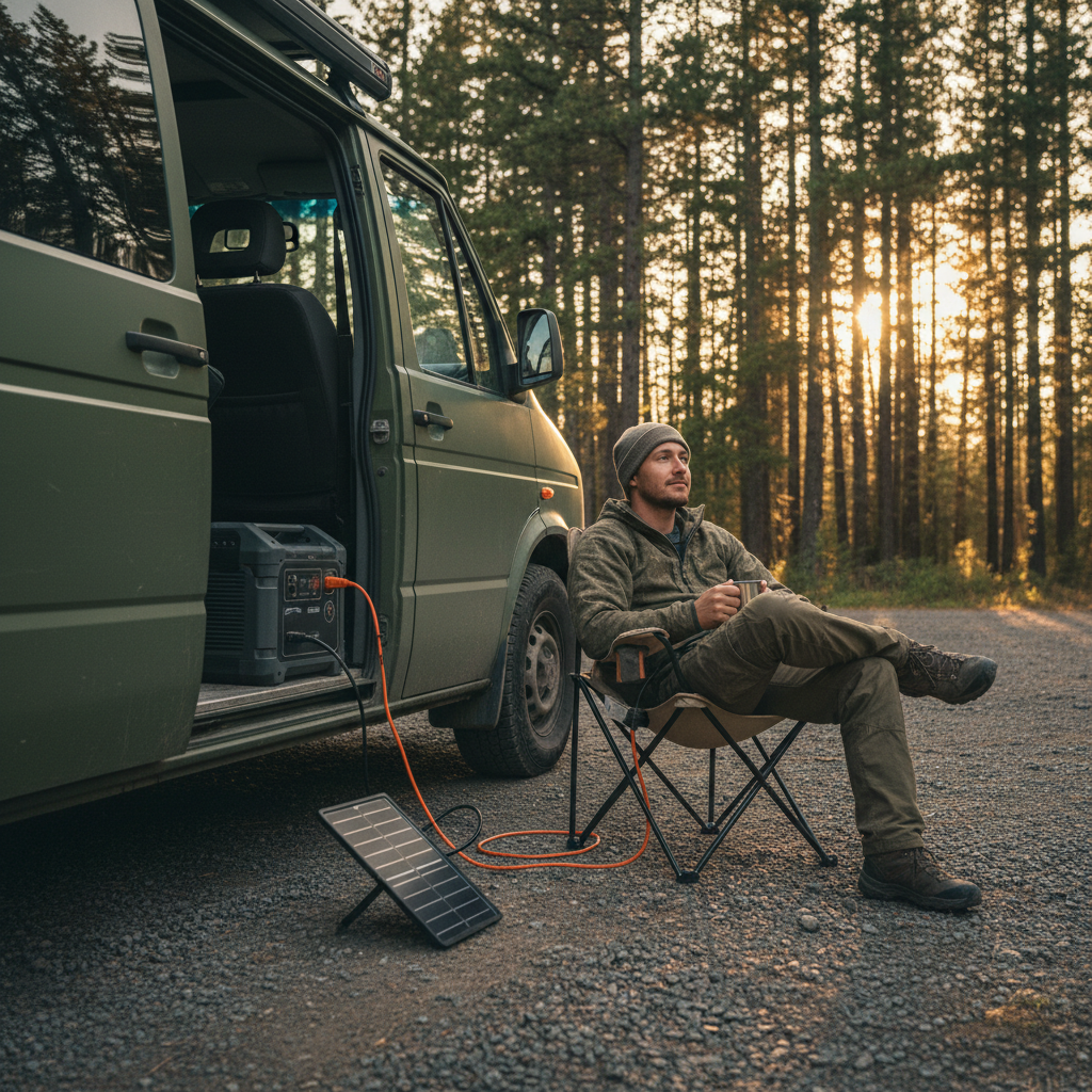
What most trip reports skip: generator hours on the Parkway are restricted to 8 AM to 8 PM at developed campgrounds, per NPS policy. If you're relying on shore power from a campground hookup, that's not an issue. But many Parkway campgrounds offer only basic sites with no electrical hookup, which means your van's electrical system carries the full load for charging, cooling, and cooking after 8 PM. A well-built lithium setup with 200 Ah or more handles a full night without issue. A starter AGM bank running a 12-volt compressor fridge and a few USB loads will drain noticeably by morning. I'd plan for solar supplementation as the primary charging source and treat the generator window as backup, not baseline.
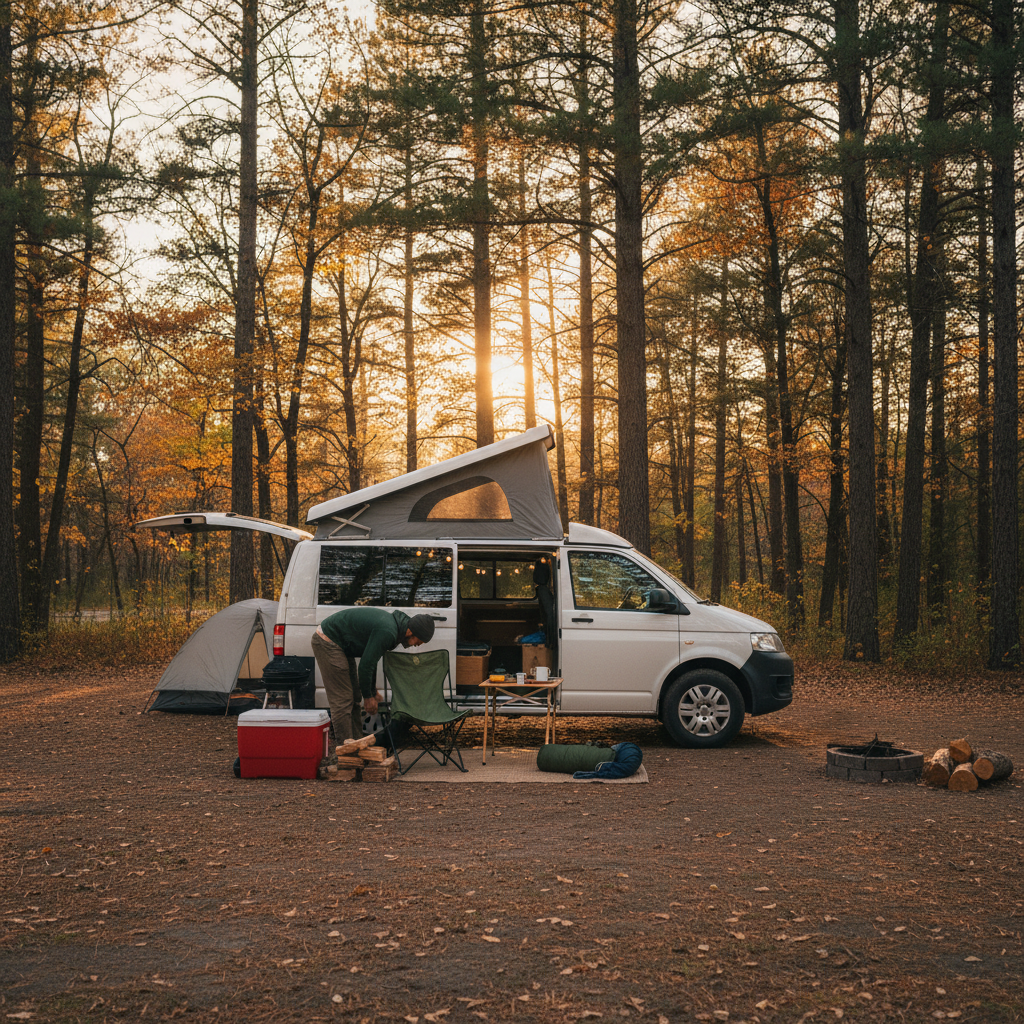
Backcountry camping is permitted on the Parkway, but it requires a free permit from a Parkway ranger station and comes with strict conditions: sites must be at least 500 feet from roads, parking areas, and water sources, and fires are frequently restricted or banned outright depending on drought conditions. This option is genuinely useful if you're traveling in a shoulder season and the developed campgrounds are closed, which happens. Otter Creek typically closes in early November; Linville Falls and other North Carolina sites follow a similar pattern. Check current operating status on the NPS Parkway site before finalizing your itinerary, because the closure dates shift year to year.
And if you skip the reservation window entirely? You'll spend at least one night either driving off the Parkway to find a private campground (there are several decent ones in towns like Blowing Rock and Waynesboro), or you'll land in an overflow area that provides no facilities. Neither is a disaster, but neither is what you came for.
Timing: Why Fall Is Both the Best and Worst Season for This Trip
Peak fall color on the Parkway typically runs from early October at high elevations down to late October at lower elevations, though the exact timing shifts with temperature and rainfall each year. The Blue Ridge Parkway Association tracks color progression and posts updates, which is the most reliable real-time source for timing your arrival.
The visitor density during peak fall is substantial enough to change the nature of the trip. Overlooks at Craggy Gardens, the Linn Cove Viaduct area, and Waterrock Knob fill before 9 AM on weekends in mid-October. Traffic slows to a crawl around the most-photographed viewpoints. None of that is disqualifying, but you should know what you're walking into.
The better question is whether the crowds change the camper van math specifically. They do. Campsite competition is at its annual peak, fuel stop traffic in gateway towns adds 20 to 30 minutes to resupply runs, and the two-lane road through high-traffic overlooks means you may wait several minutes just to pull into a pullout. A van traveler who hits the Parkway in early October on weekdays, or targets the first two weeks of May when wildflowers are peaking and crowds are a fraction of fall levels, gets a different road entirely.
Spring is genuinely underrated for this route. Rhododendron and mountain laurel bloom in May and June depending on elevation, the campgrounds are less competitive, and the lower-elevation sections in Virginia offer mild temperatures that make sleeping in a van comfortable without supplemental heat or cooling. The tradeoff is that some high-elevation sections, including portions above 4,000 feet in North Carolina, may still have frost at night through early May. A three-season sleeping setup handles it; a summer bag does not.
What to Stock Before You Enter the Parkway Corridor
The Parkway has no fuel stations on the road itself. That's a deliberate design choice, and it means your fuel planning happens at the gateway towns: Waynesboro or Roanoke in Virginia, and towns like Boone, Spruce Pine, or Asheville in North Carolina. Gaps between fuel access points can reach 60 to 80 miles depending on your route segment, which isn't a problem for a car but warrants attention for a van averaging 18 to 22 mpg loaded. Fill up whenever you drop below half a tank.
Cell coverage is inconsistent along the Parkway, particularly through the central Virginia segments and in the deeper North Carolina mountain corridors. Offline maps (download the relevant section in Gaia GPS or a comparable app before you enter) and a downloaded copy of current campground status are practical necessities, not extras. The NPS app includes Parkway content and works offline for basic navigation.
Water access at developed campgrounds is reliable during operating season. Outside operating season, or at primitive sites, carry what you need. A 7-gallon fresh tank is tight for two people over two days; 15 gallons gives you comfortable margin without aggressive conservation.
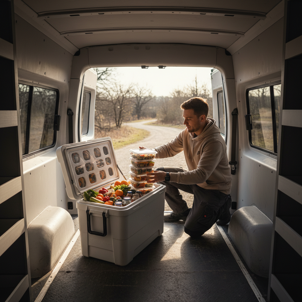
Stock food for three days beyond your planned resupply point. Grocery stores in the small towns along the Parkway corridor are limited in selection, and the larger towns like Asheville or Roanoke are worth a dedicated stop rather than a rushed resupply. Asheville in particular has become a legitimate destination for food and gear, and planning half a day there is not a detour, it's part of the trip.
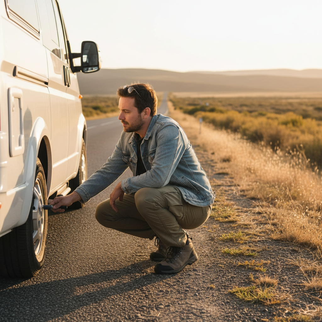
Check tire pressure before the Parkway and at your first major stop. The road's elevation changes and curve frequency put more lateral load on tires than a highway slab. A van with a known slow leak will make that problem visible faster here than on an interstate.
When the Parkway Doesn't Work for Your Rig or Your Timeline
The Blue Ridge Parkway closes sections routinely, and in some years heavily. Rockslides, storm damage, and infrastructure repair can close multi-mile stretches for weeks or months. The Linn Cove Viaduct section has been particularly affected in recent years. Before committing to the full route, check the NPS road closure map, which is updated regularly and shows both current closures and estimated reopening timelines.
If significant sections are closed, the Skyline Drive in Shenandoah National Park offers a connected northern alternative, and the Blue Ridge Parkway's southern terminus connects to Great Smoky Mountains National Park, which has its own campground system and road requirements. But Smoky Mountains roads are not the same experience: more traffic, more commercial development, and different elevation character. Don't treat them as a direct substitute.
A camper van traveler with a hard departure deadline, say five days or fewer, should reconsider attempting the full Parkway. The low speed limit, the campsite competition, and the stop-heavy character of the road make it difficult to cover more than 80 to 100 miles a day while actually experiencing the route rather than simply driving it. Five days gets you roughly the Virginia half or the North Carolina half done well. That's a better outcome than a rushed end-to-end pass.
And the reader who should probably skip the Parkway entirely for this trip: anyone with a rig over 12 feet tall, anyone without a confirmed reservation in October, and anyone who needs consistent cell coverage for work. The road doesn't accommodate those constraints well, and pushing through them makes the trip an exercise in problem management rather than the thing you came to do.
Planning Your Route: Virginia to North Carolina or Reverse
The traditional direction is north to south, starting near Waynesboro, Virginia (where the Parkway connects to Skyline Drive at Rockfish Gap) and ending at Cherokee, North Carolina, near the entrance to Great Smoky Mountains. There's a practical reason for this: the Virginia segments tend to be more open, with wider shoulders and fewer tunnel constraints, which is a gentler introduction to the road's character before the tighter North Carolina sections.
Reversing the direction, starting from Cherokee and heading north, puts the most dramatic scenery up front. The North Carolina high country around Black Balsam Knob and Waterrock Knob, with elevations above 6,000 feet, offers views that don't appear in the Virginia segments. If you're doing a partial route, the North Carolina section from Asheville northward to the Linn Cove Viaduct is arguably the most photogenic stretch and the most campsite-competitive.
A practical route structure for a 7-to-8-day van trip going north to south: Rockfish Gap to Peaks of Otter (night 1-2), Peaks of Otter to Rocky Knob (night 3), Rocky Knob to Doughton Park (night 4-5), Doughton Park to Julian Price or Linville Falls (night 5-6), and the final push through the Mount Mitchell area and down toward Asheville (night 7-8). That structure covers the major named sites without driving past them in the dark.
The one thing I'd add to every itinerary: build in one completely unscheduled day. The Parkway rewards the people who stop for the thunderstorm clearing over the Piedmont, or the unexpected trailhead that doesn't appear in any guide. But you'll also notice when you compare route plans that the unscheduled day is exactly what gets cut first under time pressure. Protect it.
Before You Drive
Confirm your vehicle's loaded height with rooftop equipment in place, then cross-reference with the NPS tunnel clearance data before you enter. Reserve your campgrounds on Recreation.gov as early as the window allows if you're traveling in fall. Download offline maps and current closure information before cell coverage drops.
If you're traveling in spring, check high-elevation frost forecasts for the North Carolina segments and pack accordingly. If you're traveling in summer, the Parkway's higher elevations run 10 to 15 degrees cooler than the surrounding lowlands, which makes afternoon thunderstorms a near-daily possibility above 4,000 feet. Plan your driving day to be off exposed ridges before 3 PM.
The Parkway charges no entry fee, which makes it one of the better-value driving experiences in the national park system. What it charges instead is time and preparation. Put the preparation in before you arrive, and the road gives back considerably more than it takes.